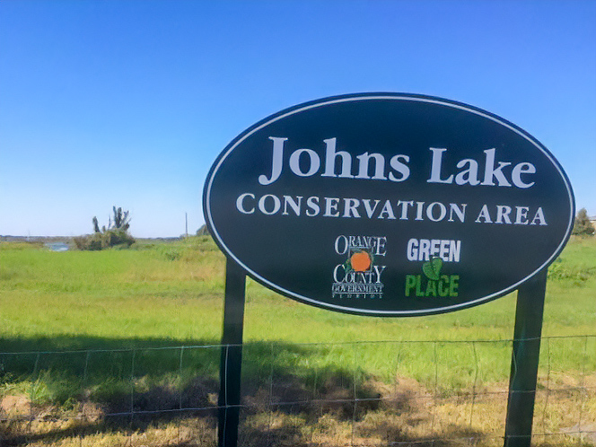
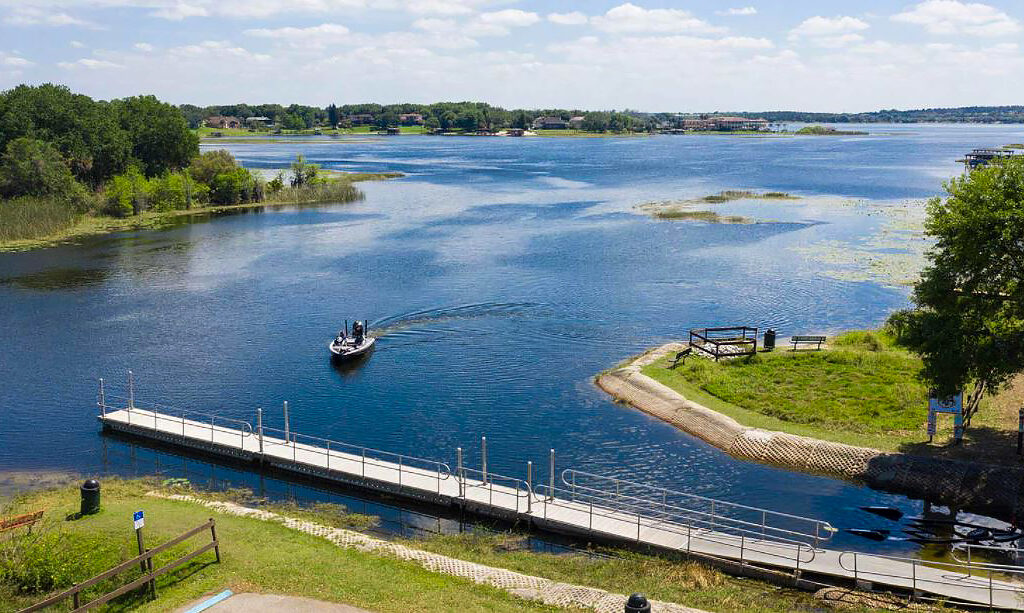
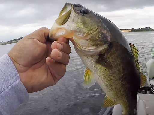
Johns Lake is located approximately 5 miles southeast of the City of Clermont and approximately 2 miles southwest of the City of Winter Garden on the border of Lake and Orange counties, Florida. Johns Lake is approximately 2,500 acres and provides a regionally important recreational resource, with good sport fishing, county parks and access for canoeing, kayaking and other watersports. There are also large intact wetland communities on the south and east portions of the lake that provide habitat for numerous wading birds and other fish and wildlife.
The District’s MFLs approach involves two separate but interrelated components: 1) MFLs Determination; and 2) MFLs Assessment. The first involves determining a minimum hydrologic regime necessary to protect relevant water resource values. The second involves comparing this MFLs condition to a current-pumping condition to determine the current status of the MFLs. The overall process involves an analysis of ecological, recreational, and hydrological information, all of which undergo independent scientific peer review. Field work and surface water modeling for the Johns Lake are ongoing. The Johns Lake MFLs determination is scheduled for completion by the end of 2023.
MFLs peer review approach in the CFWI
The District typically engages in voluntary peer review of all MFLs on its Priority List. Because Johns Lake (Orange and Lake Counties) is within the Central Florida Water Initiative (CFWI) area, the District will follow the CFWI MFLs peer review process. This includes stakeholder input in the selection of MFLs report and model peer reviewers as well as stakeholder involvement in public workshops for the review of the models, hydrological analyses and environmental analyses that are used to determine and evaluate proposed MFLs within the CFWI.
As with other CFWI MFLs, the Johns Lake MFLs peer review is divided into two phases. First, the surface water model, including calibration and long-term simulations, will be reviewed by independent technical experts in the field of hydrologic modeling. The second phase of the peer review process will involve an evaluation of recommended minimum lake levels, including the environmental criteria used for MFLs determination and the hydrologic analyses used for MFLs assessment. One or more firms will be selected for review of the MFLs determination and assessment.
Johns Lake ICPR model and documentation report
Surface water model peer review
- Model peer review schedule — updated Feb. 21, 2022
- Model peer reviewer selection matrix
- Surface water model peer review scope of work (SOW)
- Peer reviewer resume
Peer review kick-off meeting — March 3, 2022
- Peer review kick-off teleconference presentation
- Peer review kick-off summary
- Peer review workshop**
Peer review report
SJRWMD responses to model peer review
- Final peer review resolution
- Final model files (available upon request)
- Final model report
- Peer review schedule
- Selection Screening Matrix
- Peer review scope of work (SOW)
- Peer reviewer resumes
Draft MFLs report and appendices
Peer Review – Kick-off meeting: April 24, 2025
- Date and time: Thursday, April 24th, 2025 at 10:00 am
- Location: St Johns River Water Management District, Apopka Service Center, 2501 S Binion Rd, Apopka, FL 32703
- Teams webinar: TBD
- Conference call: TBD
- District Presentation: TBD
Johns Lake peer review initial findings meeting, May 27, 2025
Johns Lake MFLs peer review technical memorandum
- TBD
Stakeholder review
- TBD
District Responses


