Skip to main content
Subscribe to Water News
Menu
Governing board
Local governments
Meetings, announcements
Financial information
Educational resources
Water conservation
Water supply
Waterways
Water resources for Florida agriculture
Recreation and land
Minimum flows and levels
Contact us
Data and tools
Document library
Permitting
Learn if you need a permit
Newsroom
About Us
Core missions
Careers
✕
StreamLines
Understanding the importance of water
June 25, 2025
McCoys Creek restoration project recognized as Stormwater Project of the Year
June 17, 2025
Celebrating Women Who Power Florida’s Water Future
June 12, 2025
Tall aspirations: Longleaf pines lead Rice Creek Conservation Area’s restoration story
June 4, 2025
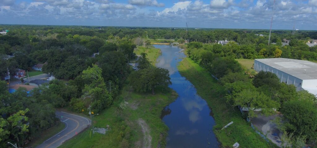
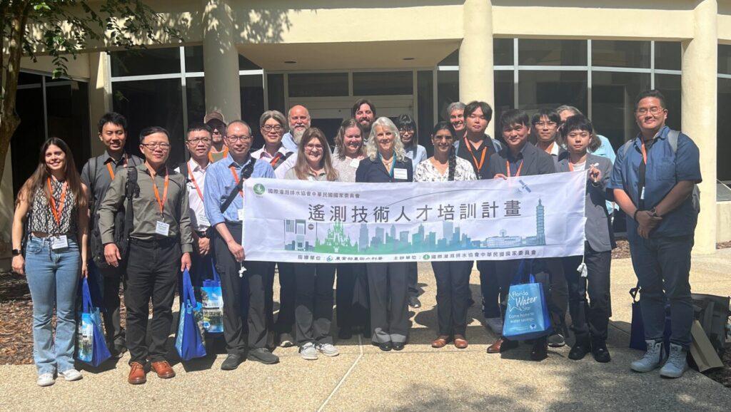
Fostering global sustainability: The District hosts water resources delegation from Taiwan
Article library