

District reassures residents region is prepared for Hurricane Irma
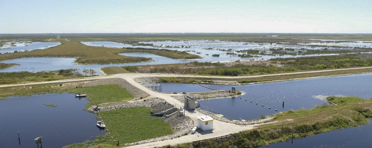
A water control structure at the St. Johns Water Management Area in Indian River County at the headwaters of the St. Johns River.
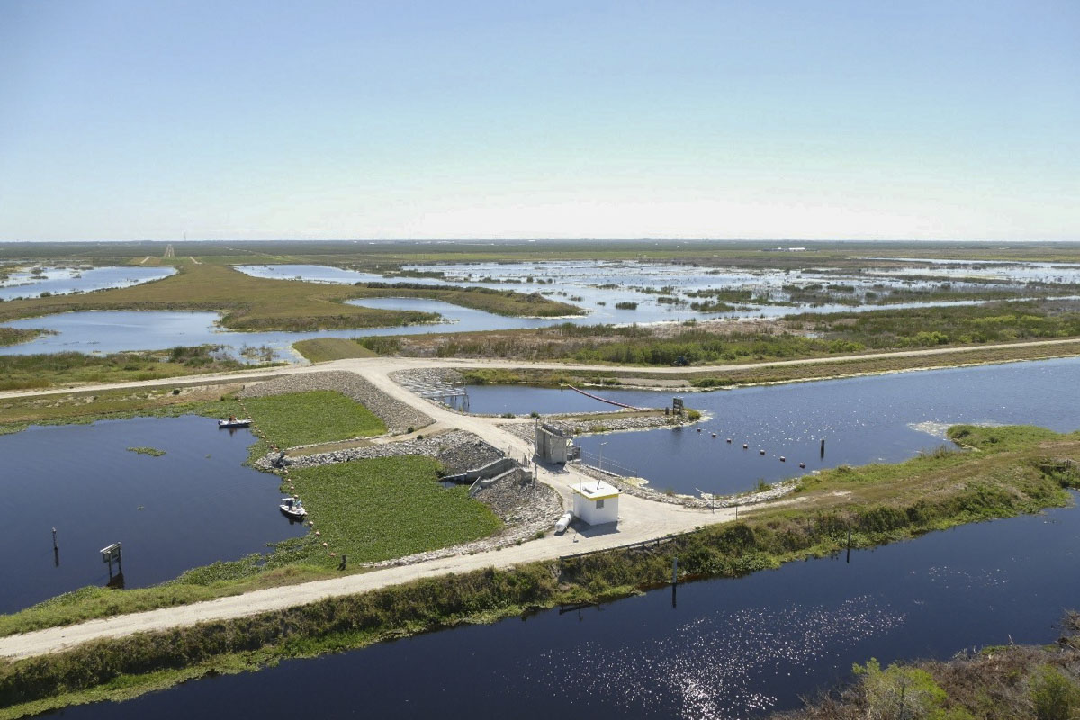
A water control structure at the St. Johns Water Management Area in Indian River County at the headwaters of the St. Johns River.
PALATKA, Fla., Sept. 5, 2017 —The St. Johns River Water Management District is making preparations for Hurricane Irma. As in years past, the District’s flood control systems are prepared for a deluge, but there are limitations.
“Safety is our number one concern, and we encourage everyone to ensure the safety of their families and properties, first and foremost,” said St. Johns River Water Management District Executive Director Dr. Ann Shortelle. “We have already begun preparing for this storm and are focused on working with our local governments to coordinate preparations.”
The District has opened flood-control structures in the Upper Ocklawaha River Basin to create additional capacity. Structures that are currently open are the Nutrient Reduction Facility near the Apopka-Beauclair Lock and Dam and the Burrell Dam. Opened this morning are the Harris Bayou and Apopka Dam, with plans to allow flows through the Moss Bluff Dam in the next few days. Similarly, the Upper St. Johns River Basin Project has opened gate structures to allow water to flow north, increasing water storage capacity.
The District’s experienced staff participates in statewide disaster preparedness training with Florida’s emergency officials. The agency has also weathered many hurricanes and tropical storms, assisting local governments and communities in the aftermath of devastating storms, most recently Hurricane Mathew in October 2016. A list of local government flooding contacts is available on the District’s website at www.sjrwmd.com/localgovernment/flooding.
Visit the District’s webpage at www.sjrwmd.com/storm for more information on hurricane and flooding information.