Please visit the ArcGIS Hub/Open Data site to access SJRWMD’s geospatial content. The ArcGIS Hub/Open Data site works best with a current Edge, Firefox or Chrome browser and is available during normal business hours. This site will provide users with subset query and output format (shape file, kml, gdb) options.
Important Information:
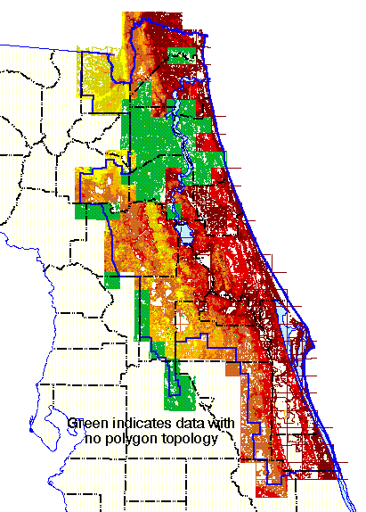
The remaining data downloads in the Historic GIS Data download table (below) are topographical and/or historic in nature, including SJRWMD-funded or co-funded project-specific land surface datasets (DEM, Contours). These are not hosted currently through the Open Data site due to associated storage constraints. Please contact individual Counties directly for the countywide raster and/or vector land surface datasets those agencies are stewards of. Most SJRWMD-funded elevation data hosted here are only of District properties, not urban\municipal areas of interest.
Most commonly requested SJRWMD vector datasets including (CUP, WWCR) are now available through the Open Data site for download, extract. Email GIS_Support@sjrwmd.com directly for all other SJRWMD GIS data inquires, not located here or through the Open Data site.
For questions regarding District GIS data, contact us at GIS_Support@sjrwmd.com
Historic GIS Data download table
By accessing information, data and materials contained in the St. Johns River Water Management District Internet pages, you hereby agree to accept the following terms and conditions:
- The user hereby recognizes that the information, data and materials are dynamic and may change over time without notice. However, the District makes no commitment to update the information, data or materials contained herein. The District reserves the right, at its sole discretion, to modify, add or remove any of these terms and conditions contained herein without notice.
- All information, including, but not limited to, software, materials and data contained herein is provided “as is” without warranty of any kind, and the District expressly disclaims all express and implied warranties, including, but not limited to, the implied warranties of merchantability and fitness for a particular purpose, and non-infringement of proprietary rights. The District does not warrant, guarantee, or make any representations regarding the use of, or inability to use, the information provided to you by the District in terms of correctness, accuracy, reliability, timeliness, completeness, or otherwise. The entire risk as to the results and performance of any information obtained from the District is entirely assumed by the recipient. Any person who uses any information available from the District disclaims all liability for damages, costs and expenses and agrees that there are no remedies for negligence, or under strict liability, or for breach of warranty or contract, including but not limited to indirect, consequential, punitive or incidental damages, even if you give notice of the possibility of such damages.
- Information, data, or material accessible via the District’s website may contain hyperlinks to information, data, or material held on networked information servers beyond the District’s website. The District has no control over, and is not responsible for, the operation or contents of any off-site material referenced from hypertext documents accessible via the District’s website. The District makes no warranty, or guarantee, or promise, express or implied, that such information, data, or material is either accurate, complete, up to date, or fit for any use whatsoever, nor represents or implies that its use will not infringe privately held rights. Furthermore, any person who accesses such information, data, or material disclaims all liability for damages, costs and expenses, and agrees that there are no remedies for negligence, or under strict liability, or for breach of warranty or contract, including, but not limited to, indirect, consequential, punitive or incidental damages, even if notice was given of the possibility of such damages.
- Reference, or the lack of reference, contained in the District’s website to any specific commercial product, process, or service does not constitute or imply its endorsement, recommendation, favoring, or disfavoring by the District.
- The laws of the state of Florida, without regard to its conflict of laws provisions, govern this Agreement. User consents to the exclusive jurisdiction and venue of courts in Duval County, Florida, USA, in all disputes arising out of or relating to the use of this website. Use of this website is unauthorized in any jurisdiction that does not give effect to all provisions of these terms and conditions, including, without limitation, this paragraph.
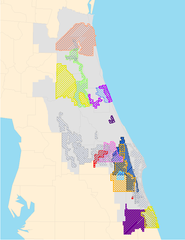
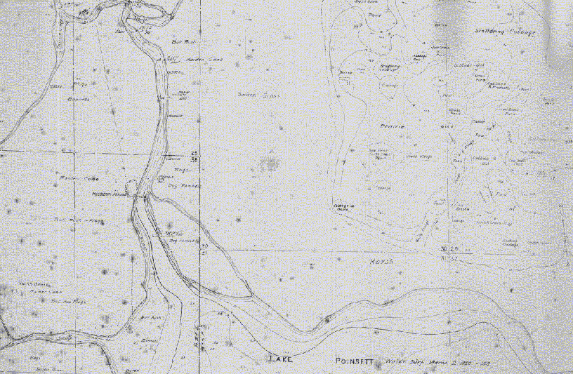
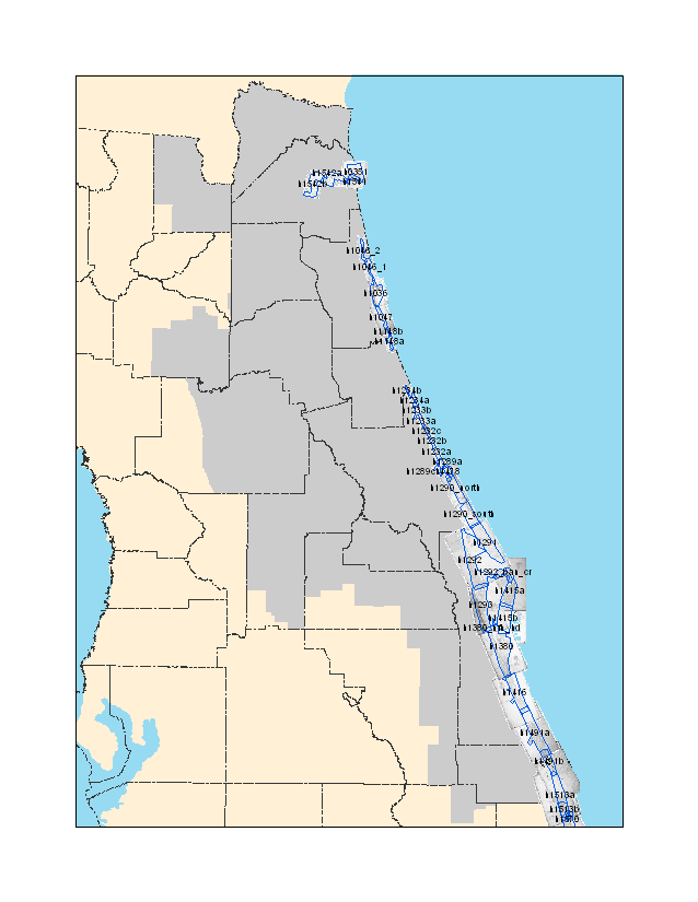
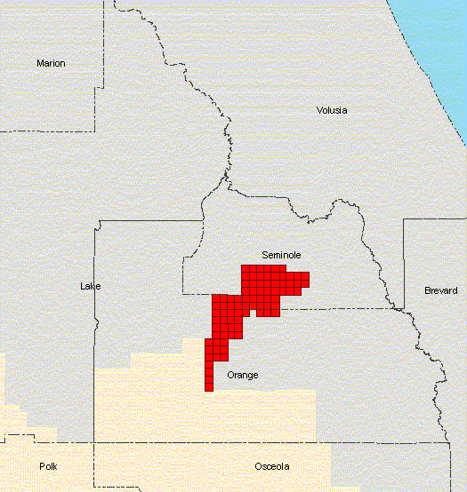
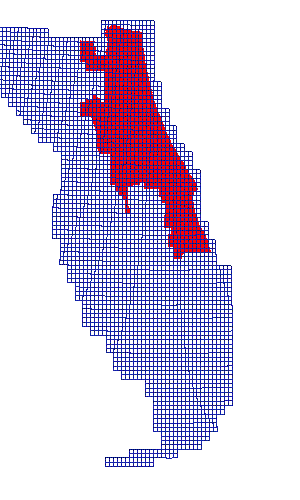
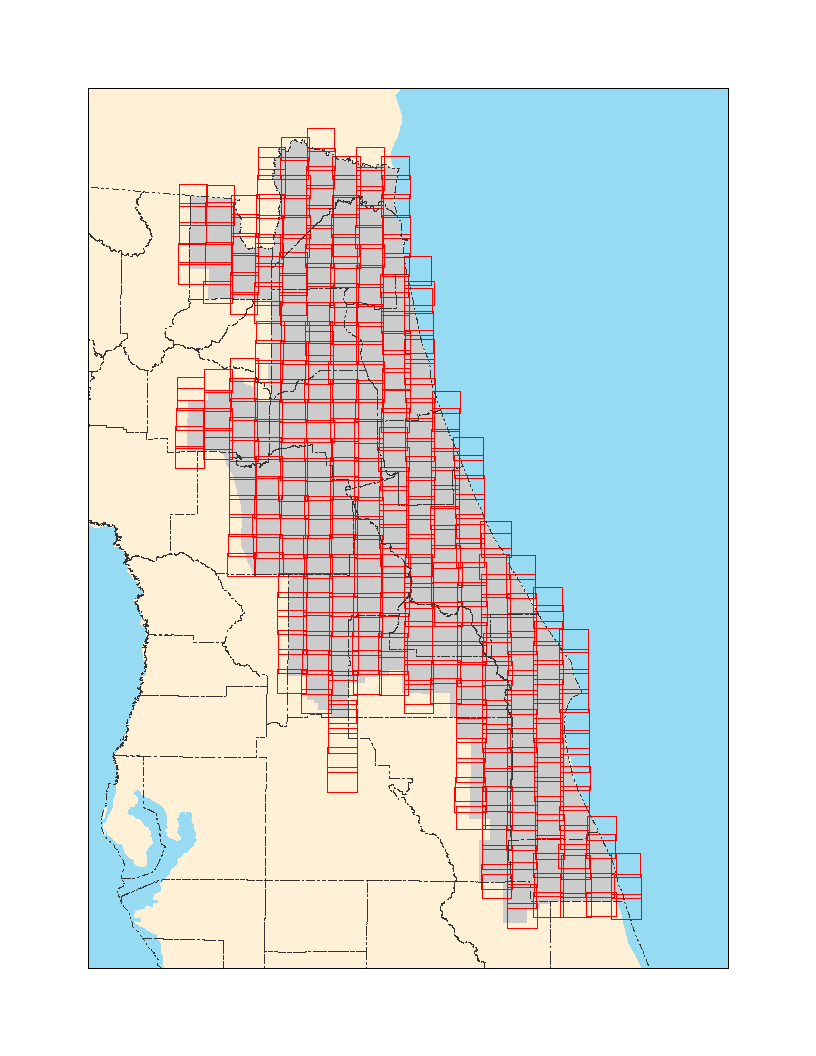
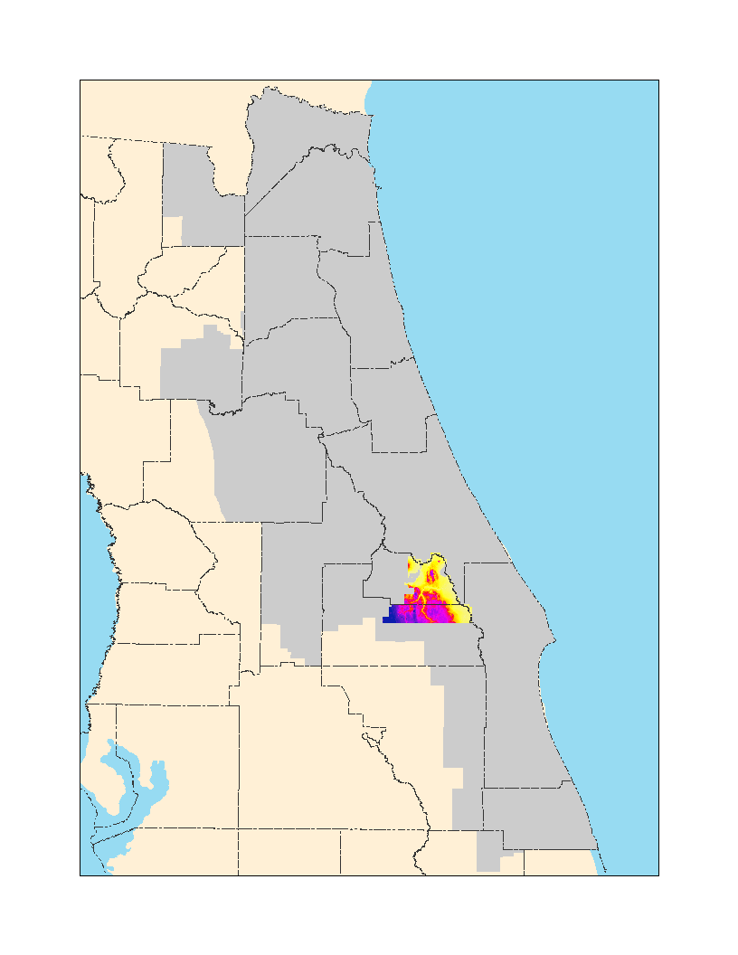
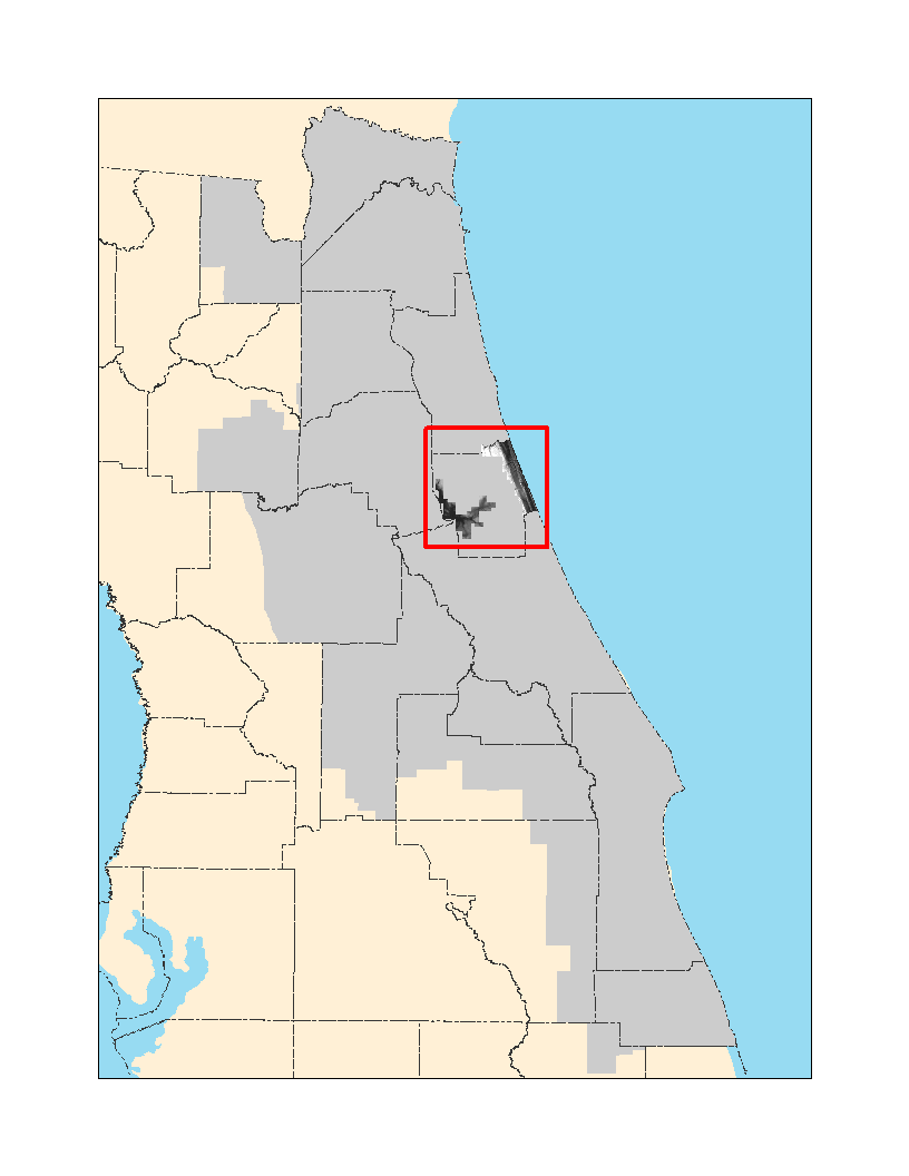
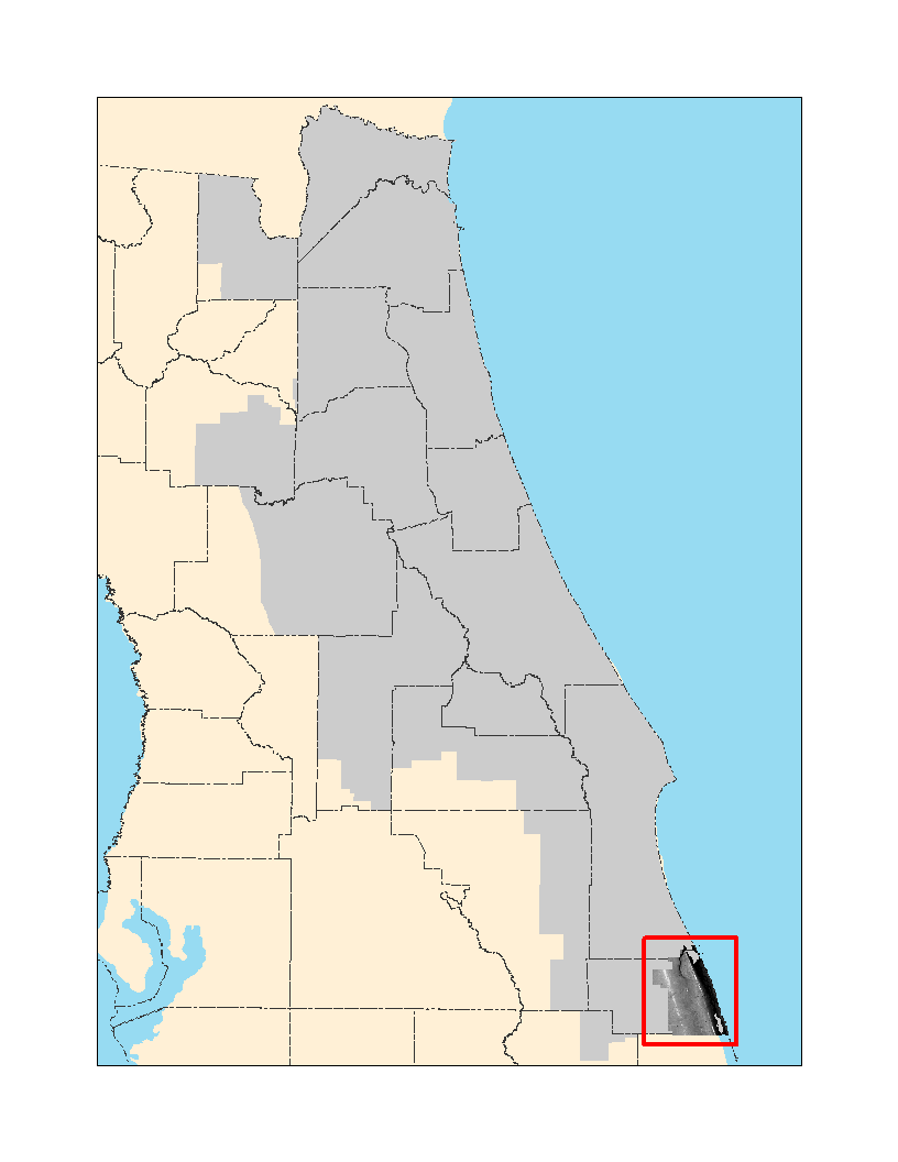
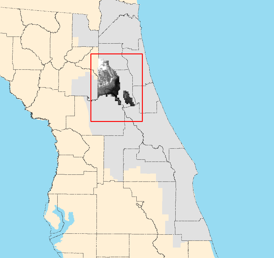
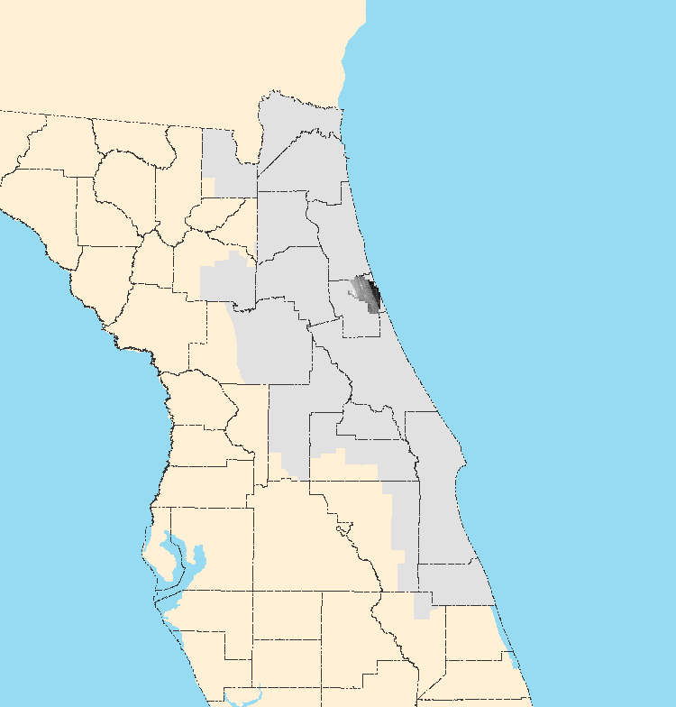
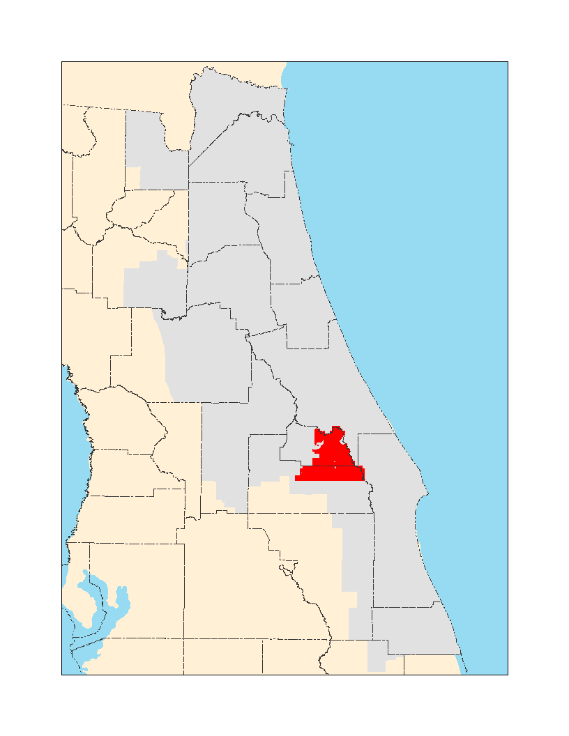
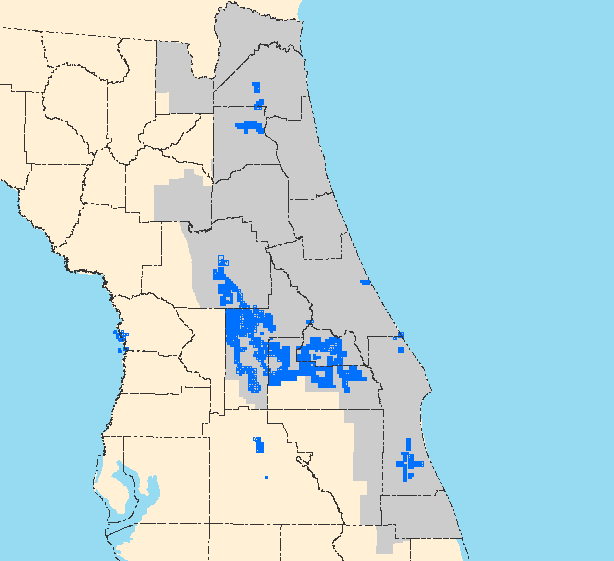
DEM Index: Locations of Digital Elevation Model datasets in the SJRWMD
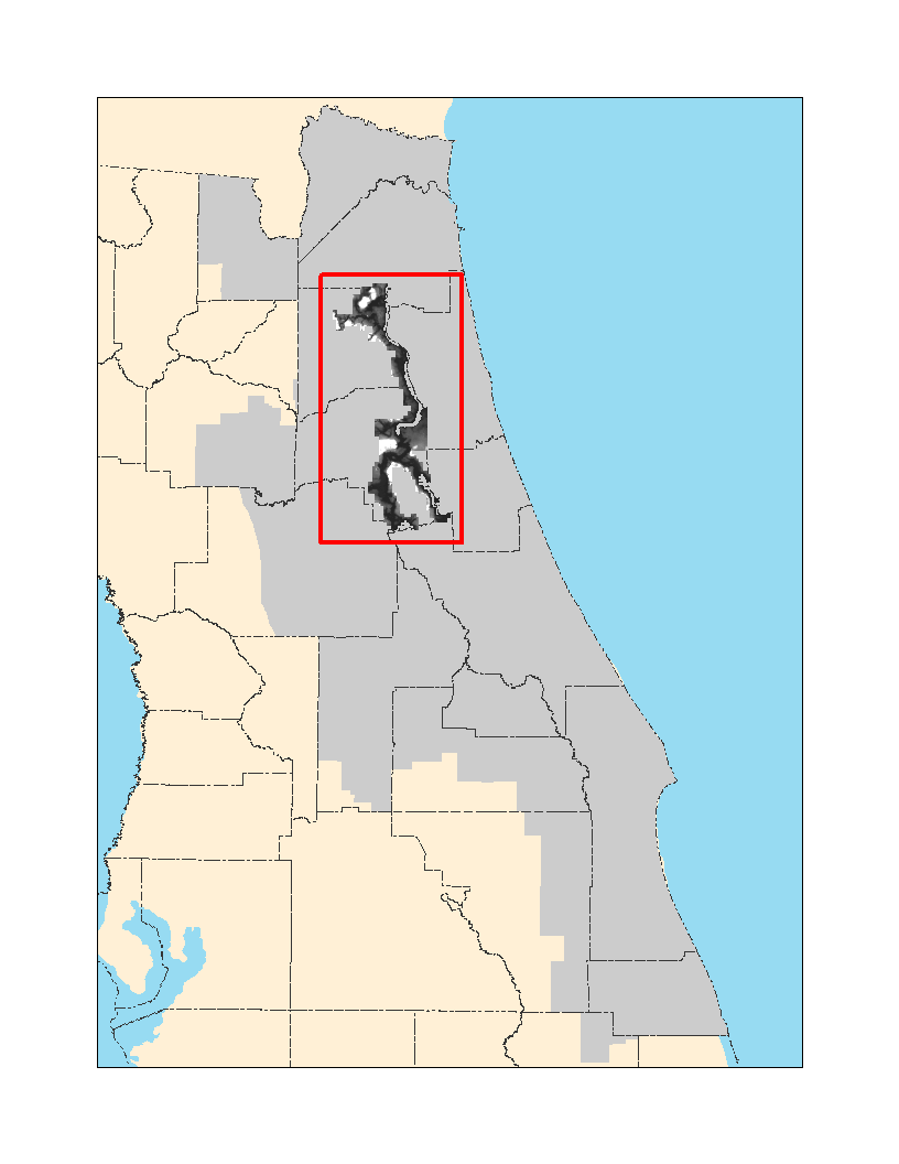
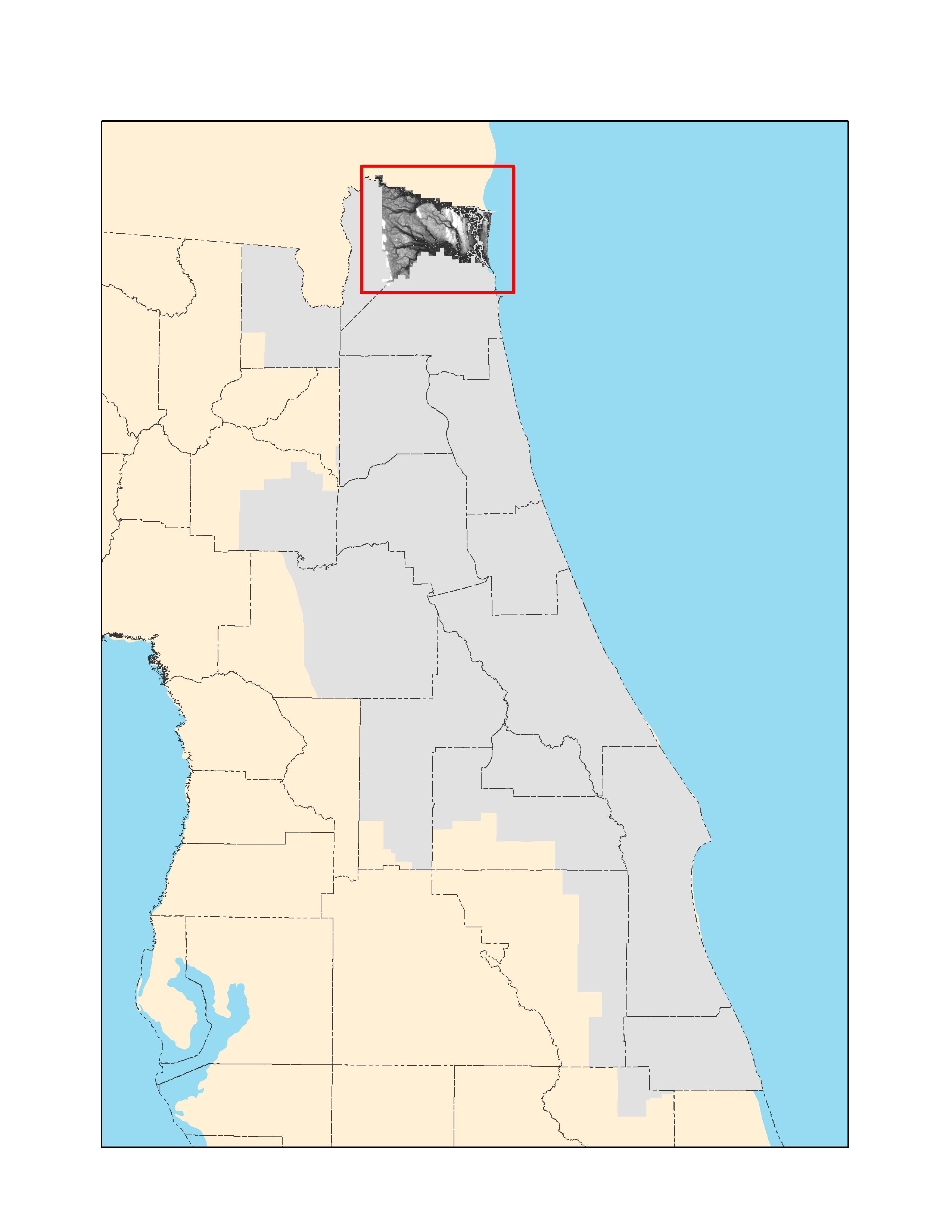
DEM, Clay and Putnam Counties FDEM Project (St. Johns River region), 2007
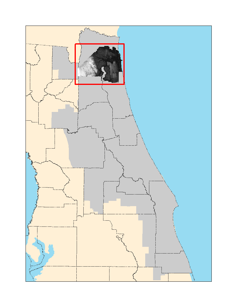
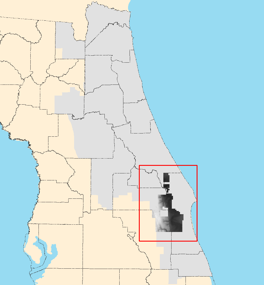
DEM, Flagler County FDEM Project (coastal and Crescent Lake regions), 2004
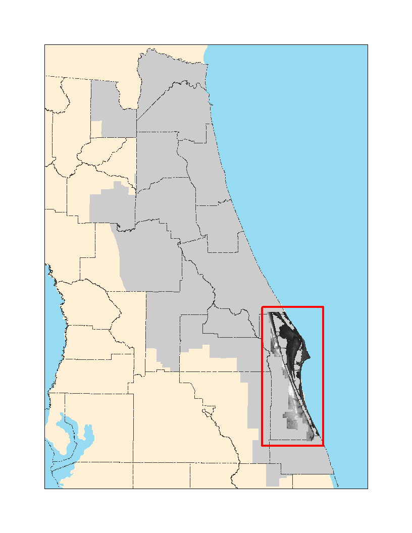
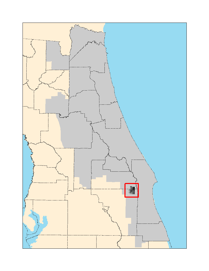
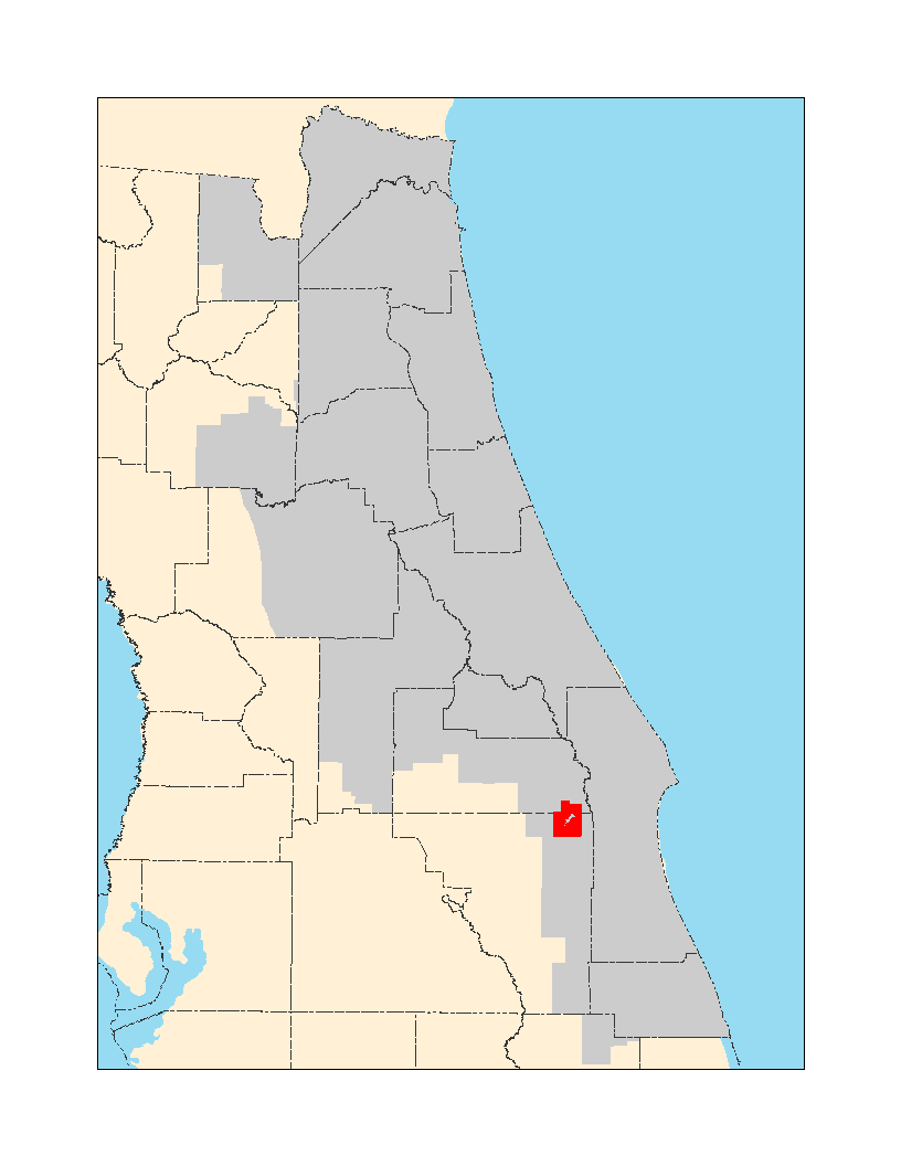
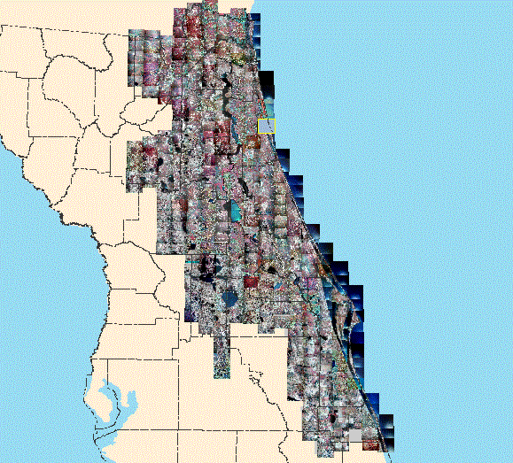
DEM, portions of Brevard, Orange, and Osceola Counties, 2010 (Upper St. Johns River Basin, North)

True color
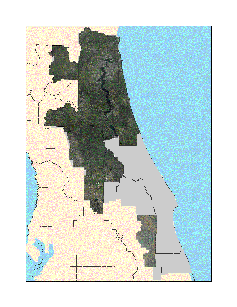
2009 Digital Orthophoto, natural color – MrSID format
Partial coverage only; does not include Volusia, Seminole, Orange, Brevard or Indian River Counties, most of which are available through FDOT.
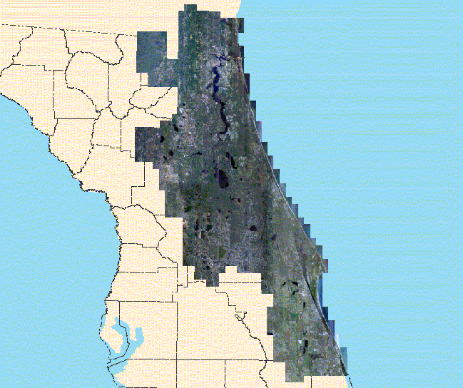
Color infrared
2009 Digital Orthophoto, color infrared – MrSID format
Partial coverage only; does not include Volusia, Seminole, Orange, Brevard or Indian River Counties, most of which are available through FDOT
Scanned
1984 National High Altitude Photography (NHAP) – color infrared, MrSID format