About this property
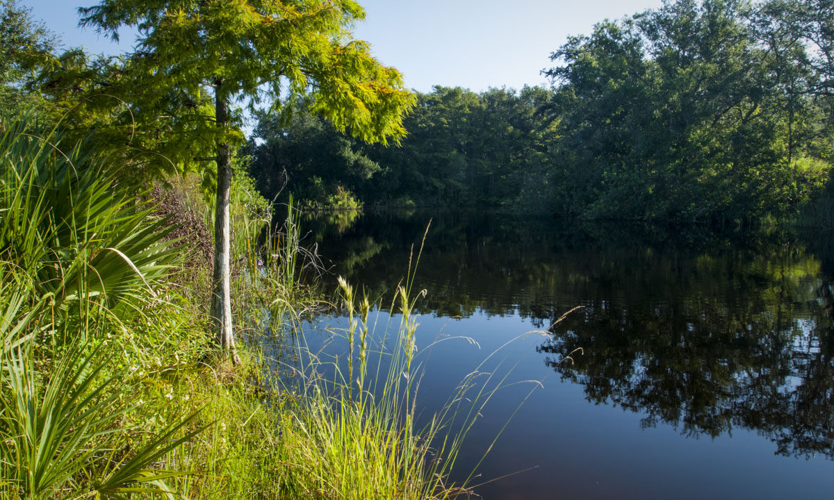
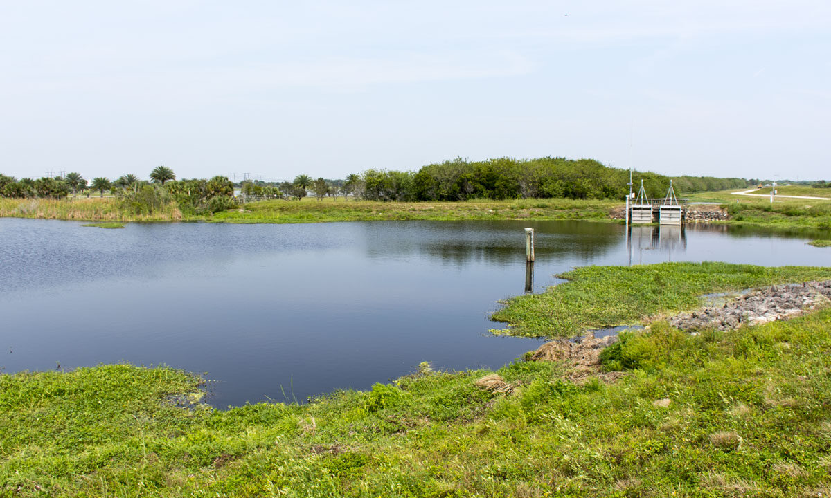
This conservation area contains a mosaic of wetland and upland communities, with the marsh area representing the southernmost reach of the St. Johns River’s headwaters. The area was acquired as part of the Upper St. Johns River Basin Project, undertaken jointly by the District and the U.S. Army Corps of Engineers, as a long-term flood control project to revitalize the upper basin. The Upper St. Johns River Basin Project reclaimed drained marshlands by creating reservoirs and replumbing existing canals. The goals were numerous: to improve water quality, reduce freshwater discharges to the Indian River Lagoon, provide for water supply, and restore or enhance wetland habitat.
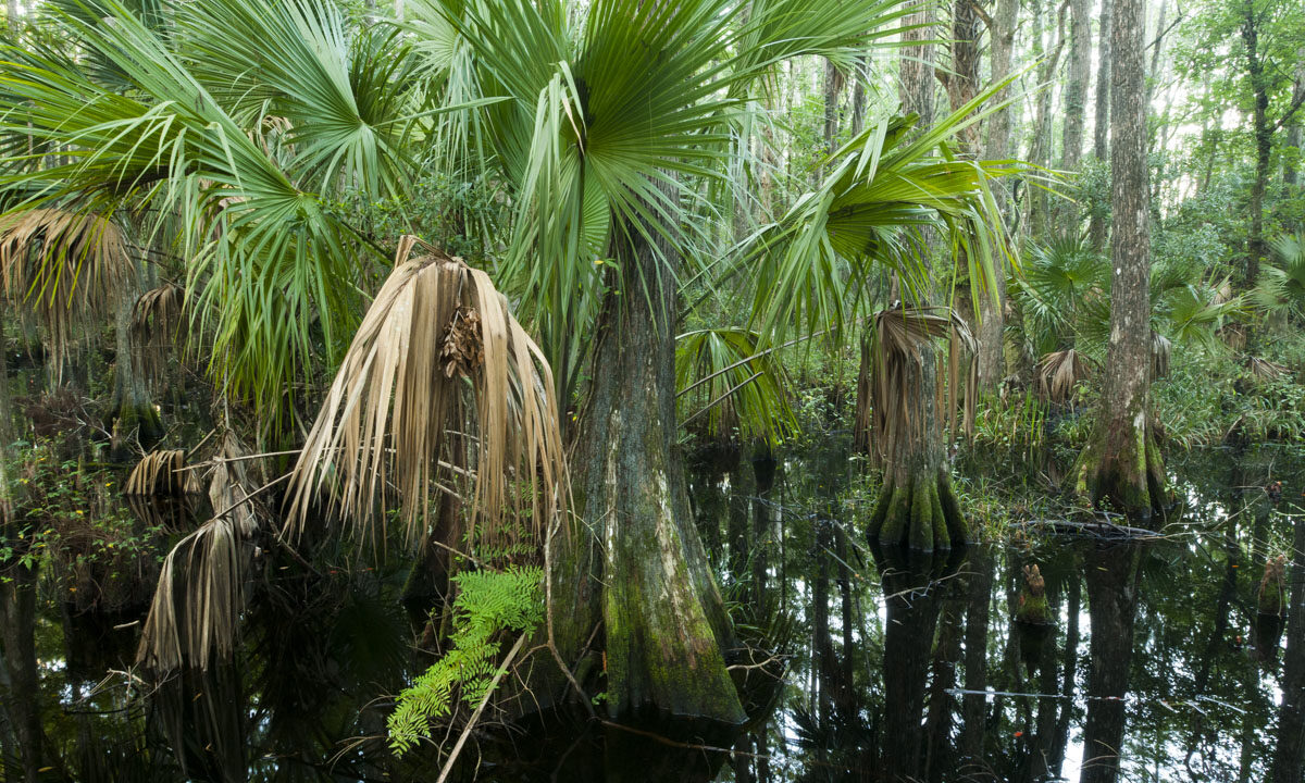
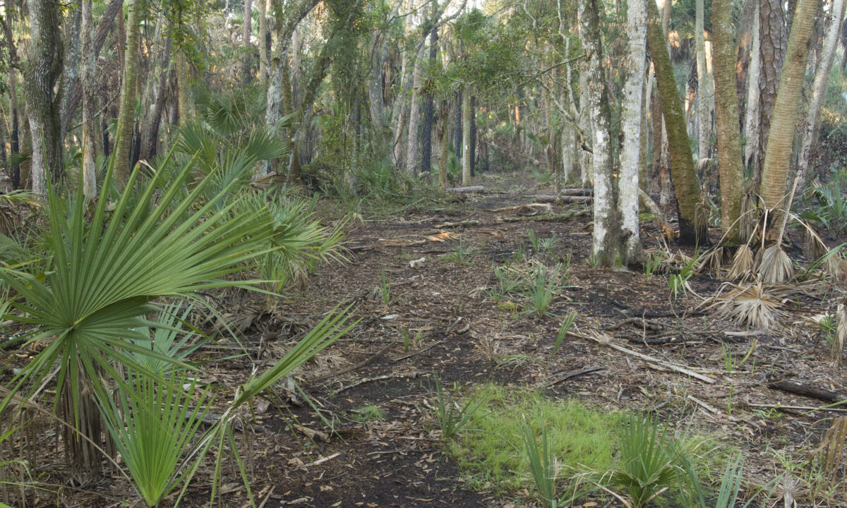
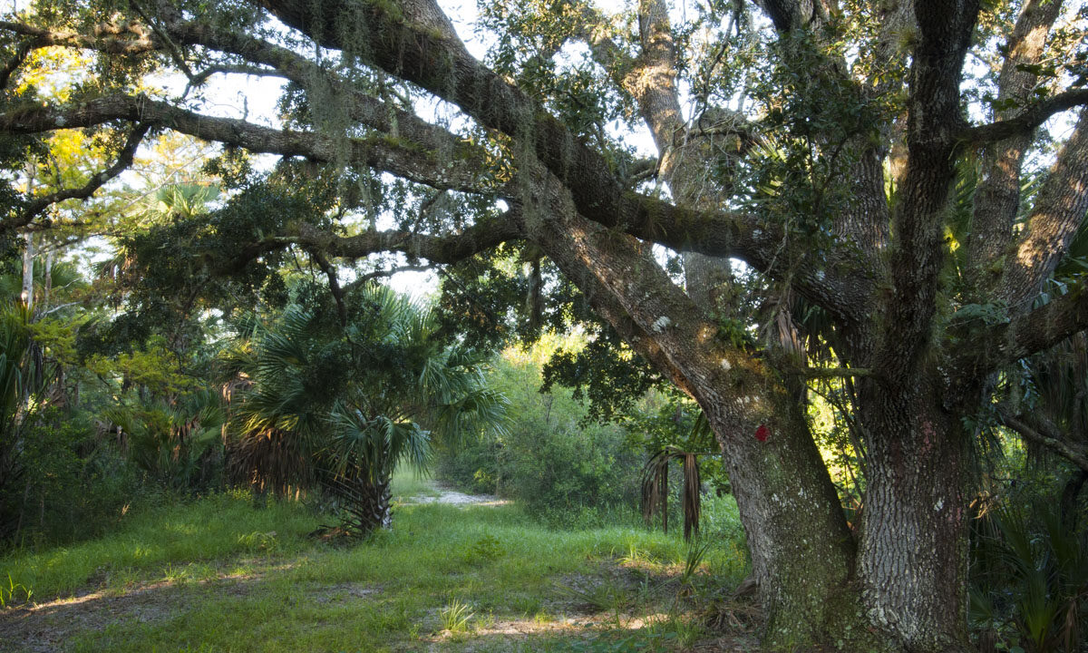
The diversity of plant communities within the property has been shaped by both people and nature. Natural communities include dry prairie, pine flatwoods, hardwood swamp and freshwater marsh.
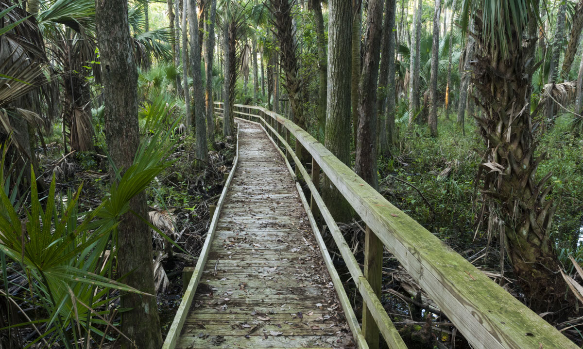
One of the special highlights of this property is a wooden boardwalk that meanders through a blackwater hardwood swamp where the sunlight is muted by the cover of cypress and cedar trees and sabal palms. The hike to get to the boardwalk (approximately a half mile from the Horseshoe Lake parking area) is well worth the effort. Overall, the conservation area features about 5 miles of trails. In addition, visitors and land managers alike talk about the fantastic hiking through the mixed hardwood and palm hammocks on Hog Island. If you plan to hike, please note that this property can be very wet at times and the trails are often underwater, usually during summers when rains have been regular and especially after any tropical system. In addition, this property is managed as a Wildlife Management Area (WMA) through the Florida Fish and Wildlife Conservation Commission.
Wildlife viewing
Please respect Florida’s wildlife and use caution while visiting District lands. These are wild animals. For your safety, do not approach or feed any wild animal. The diverse habitats support Florida sandhill cranes, wood storks, caracara, bald eagles, deer, turkey and a large population of feral hogs. Visitors may also encounter cattle on the property.
Recreational activities
- Activities include hiking, picnicking, horseback riding, fishing, bicycling, primitive camping at designated sites, wildlife viewing, canoeing and seasonal hunting.
- A boardwalk provides an opportunity to hike through a hardwood swamp to reach Hog Island for trails and primitive camping.
- A picnic pavilion and picnic tables are located adjacent to Horseshoe Lake.
- Horseback riding is not allowed on levees.
- Vehicle access beyond Lake Cara is by permit only. Visitors must display a printed copy of the permit on the vehicle dashboard while parked at the Horseshoe Lake parking area. Request an annual day-use permit online at day use permits at least one business day in advance or call the District’s Bureau of Land Resources at (386) 329-4401 for information. All vehicular access is restricted during certain seasonal hunts.
- Geocache located on property. Please visit our geocache database for more information.
Please note, primitive camping is by reservation only at Fort Drum. Reservations can be made at https://www.sjrwmd.com/lands/recreation/camping/
Access
Located about 10 miles east of Yeehaw Junction. There are two access points: both located on the south side of State Road 60. One is located at the northwest corner of the property. The second is located at the northeast corner of the property. For details and to get driving directions from your location, see the Google Maps link on this page.


