Seagrass – SJRWMD
Skip to main content
    Subscribe to Water News
SeagrassSeagrassSeagrassSeagrass
  •   Menu  
      • Governing board
      • Local governments
      • Meetings and announcements
      • Financial information
      • Educational resources
      • HOA resources
      • Water conservation
      • Water supply
      • Waterways
      • Water resources for Florida agriculture
      • Recreation and land
      • Minimum flows and levels
      • Contact us
      • Data and tools
      • Document library
  • Permitting
    • Learn if you need a permit
  • Newsroom
  • About Us
  • Core missions
  • Careers

Seagrass

Video

Photos

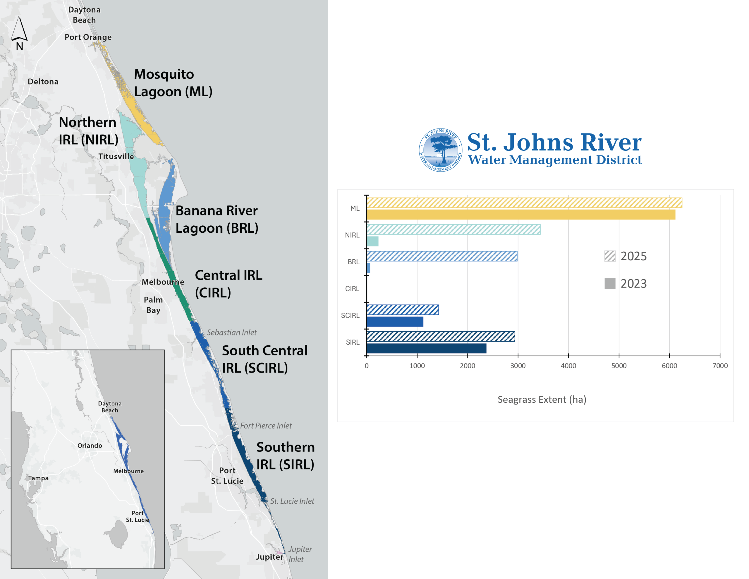
Map of the Indian River Lagoon showing labeled sub-basins from Mosquito Lagoon south to Jupiter Inlet, alongside a St. Johns River Water Management District bar chart comparing 2023 and 2025 seagrass extent (hectares) in each lagoon segment.
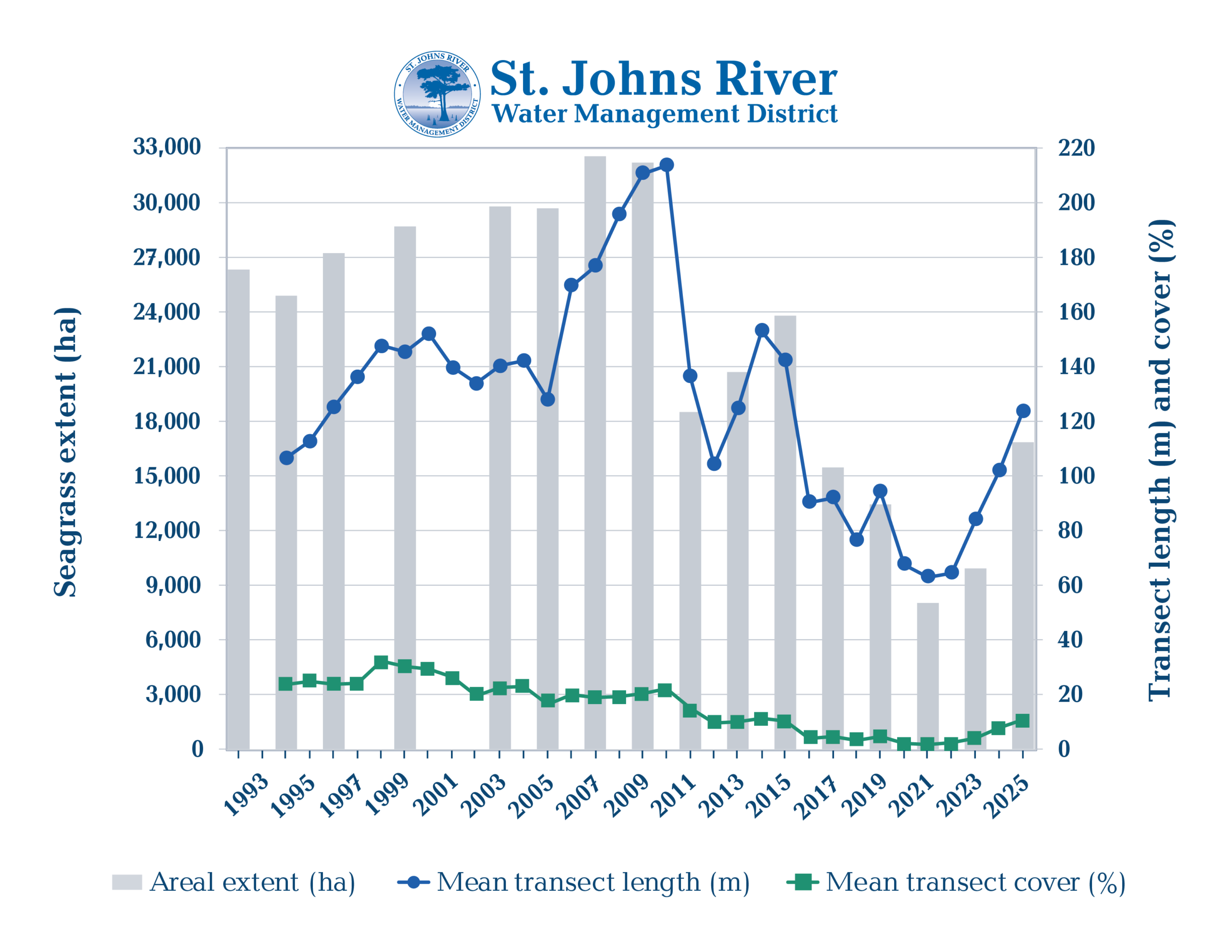
Bar and line graph from the St. Johns River Water Management District showing seagrass areal extent in hectares, mean transect length in meters, and mean transect cover percentage from 1993 to 2025. Areal extent and transect length peaked around 2007–2009 and declined significantly through 2022, with a modest recovery shown in 2025.
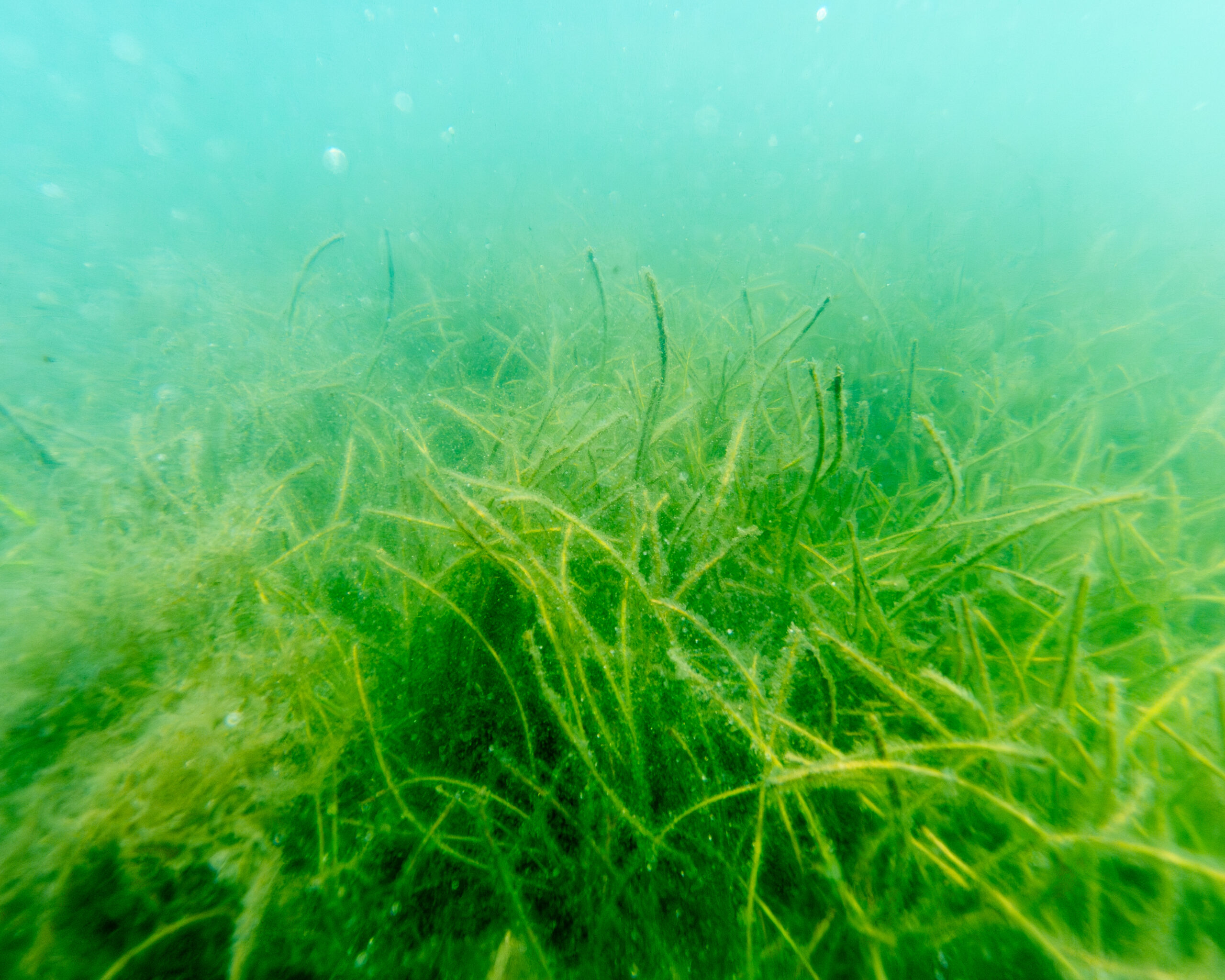
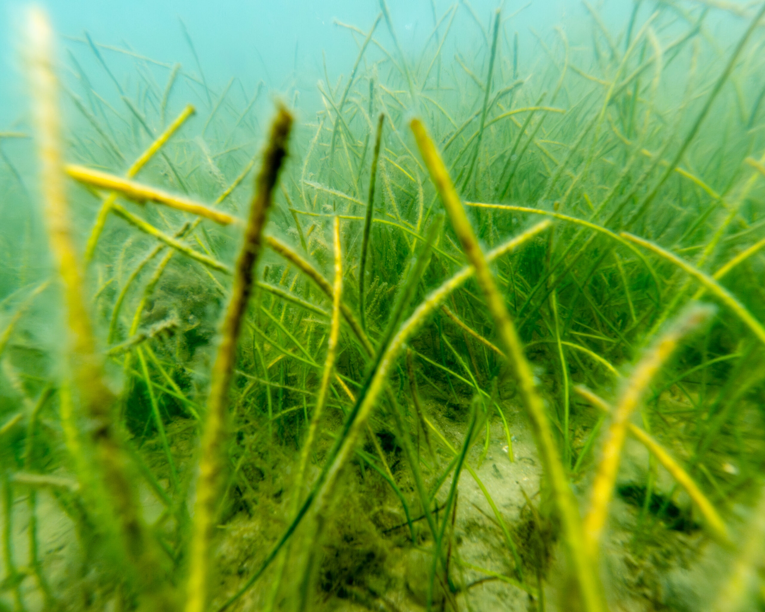
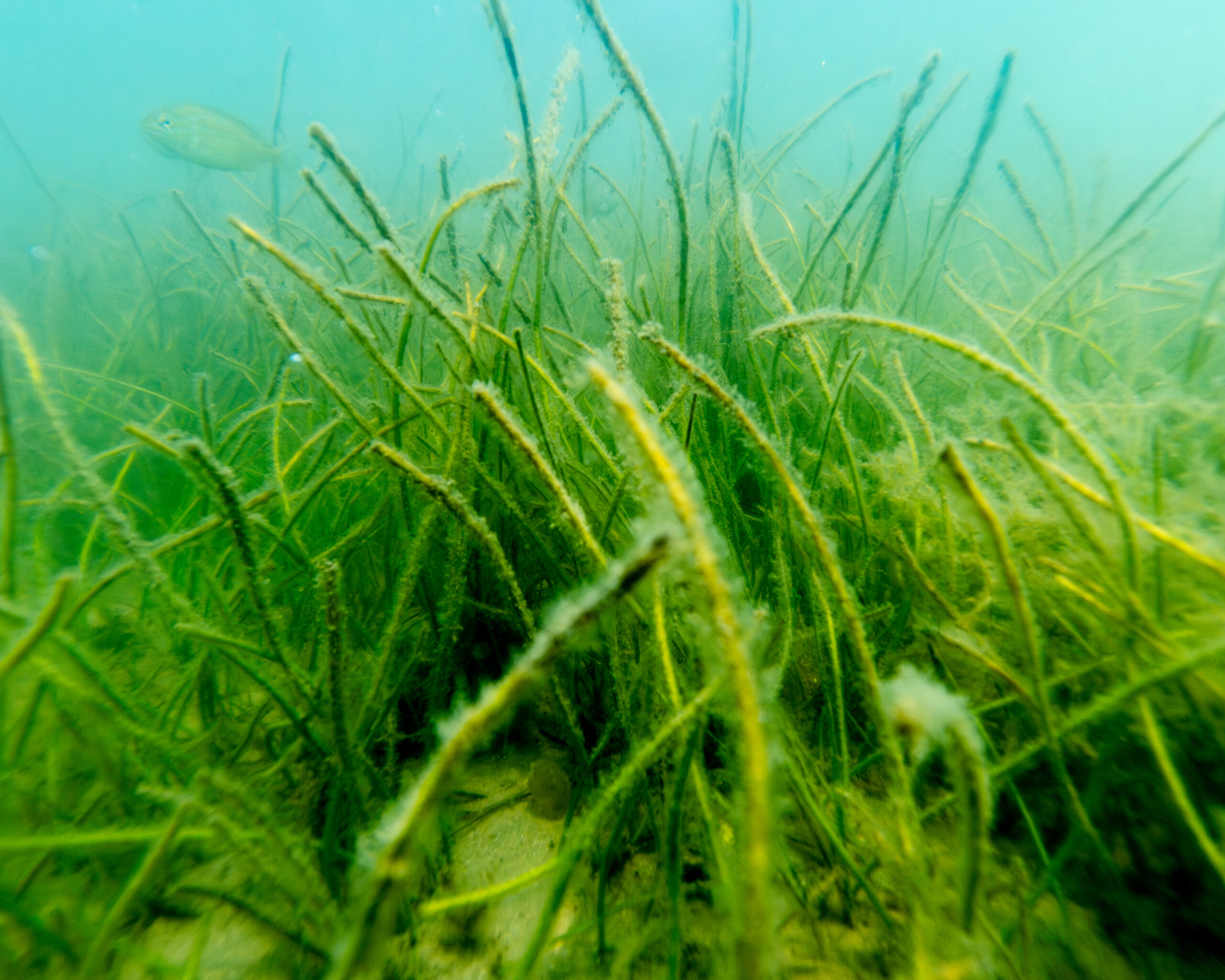
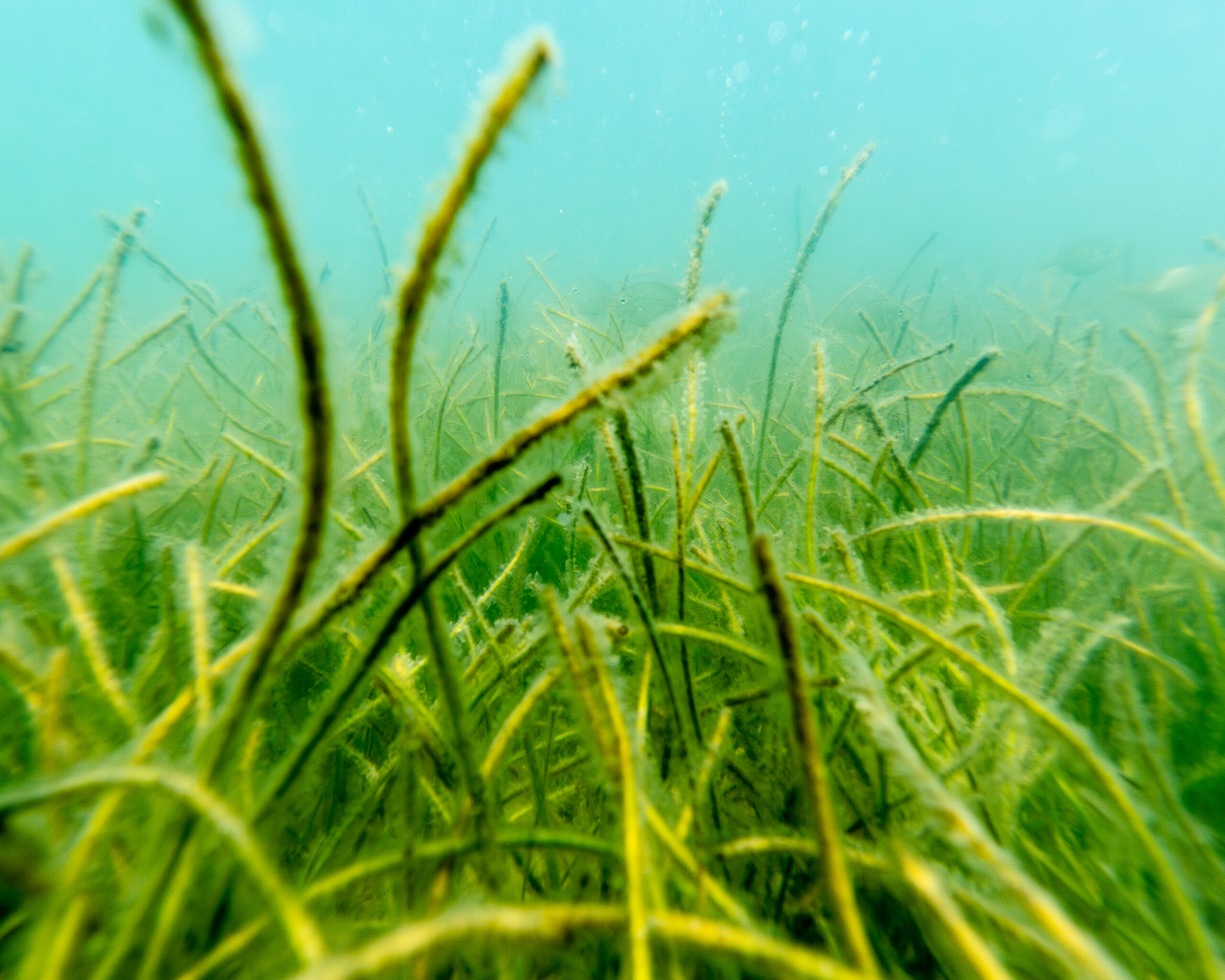
Underwater view of a dense seagrass bed with long, narrow green blades swaying on a sandy bottom.
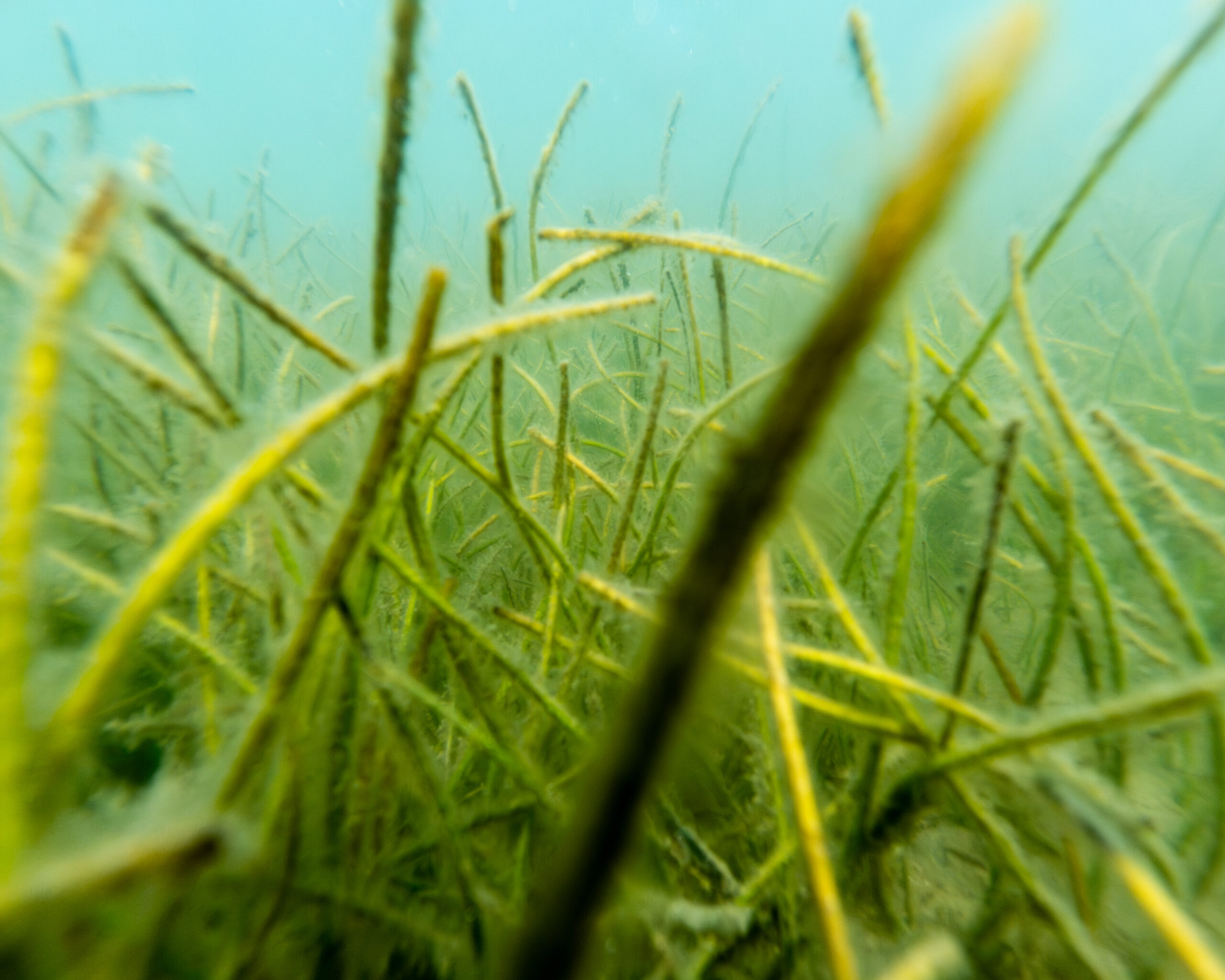
Underwater view of a dense seagrass bed with long, narrow green blades swaying on a sandy bottom, with a small fish visible in the background.
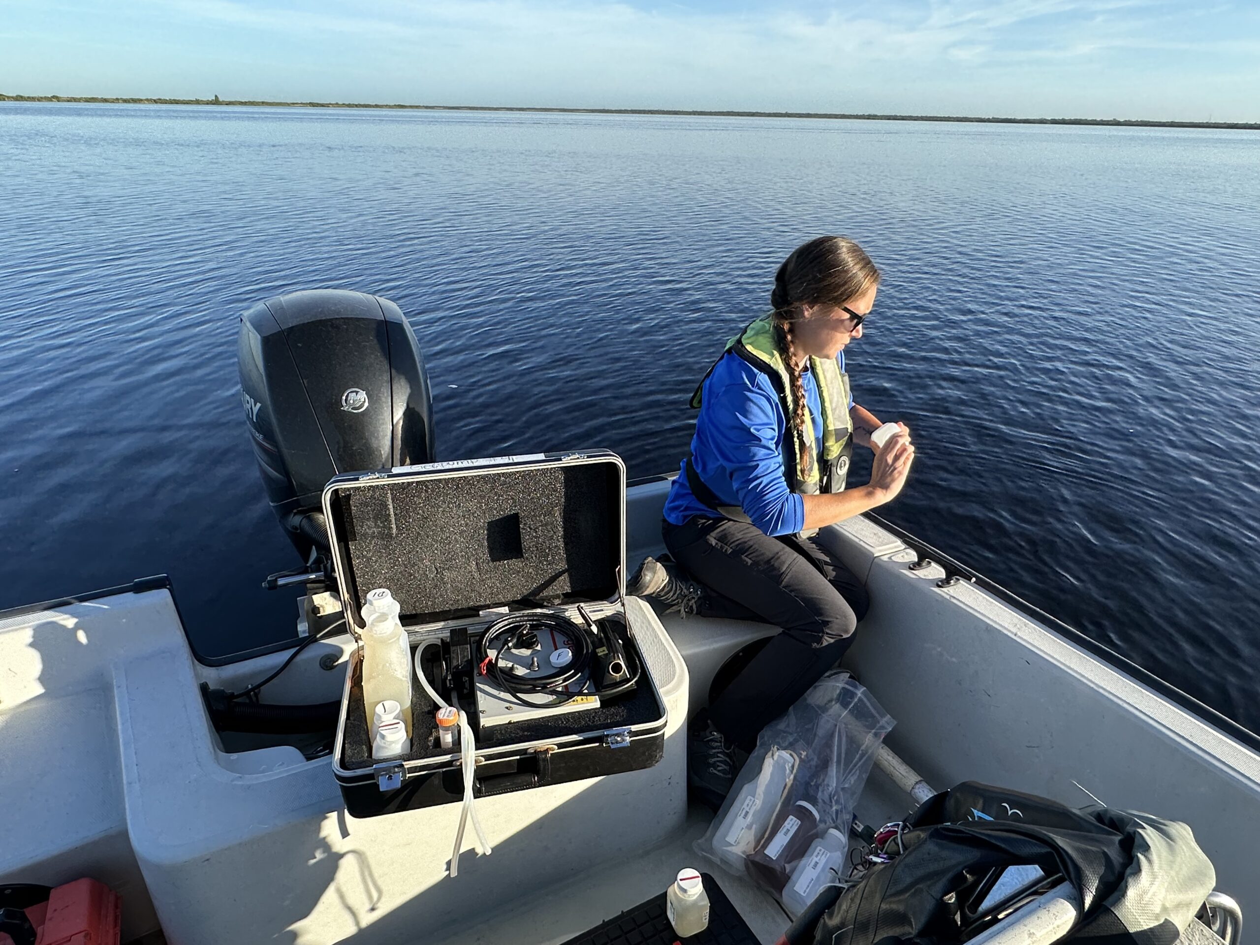
A field technician wearing a life vest examines a water sample on a boat, with field equipment and sample bottles nearby on calm open water.
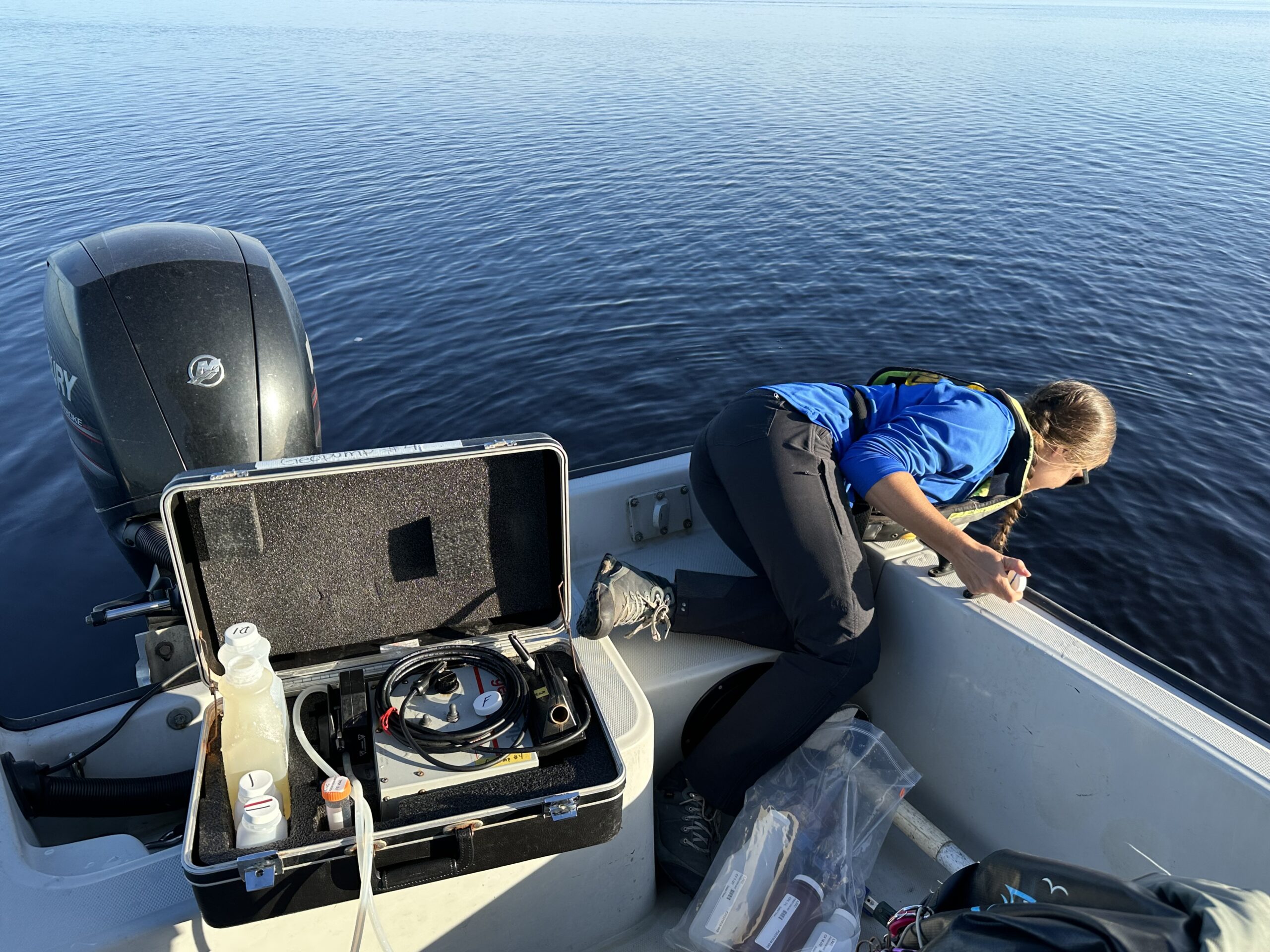
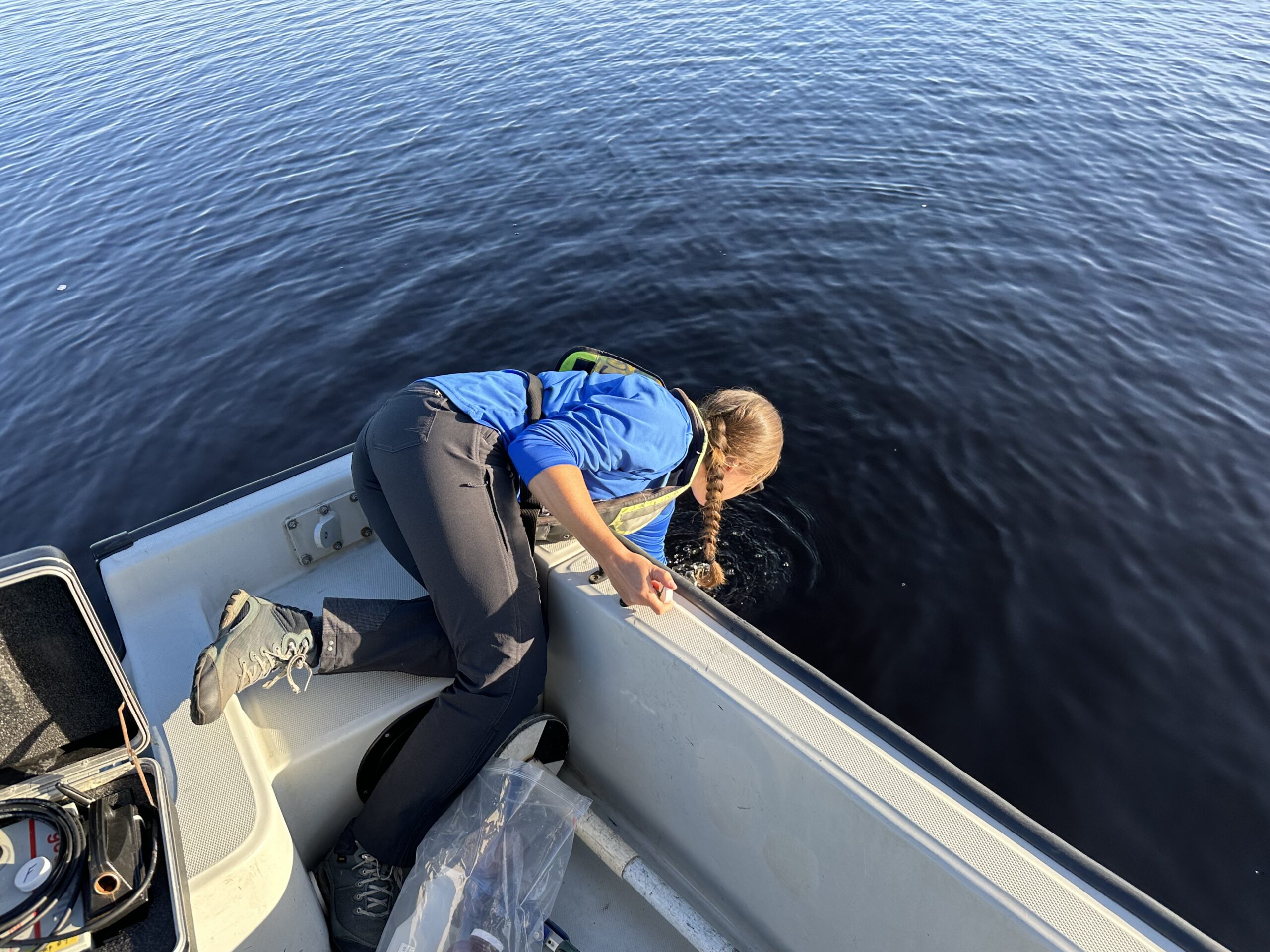
A field technician leans over the side of a boat to collect a water sample, with an open field equipment case and sampling supplies visible on deck.
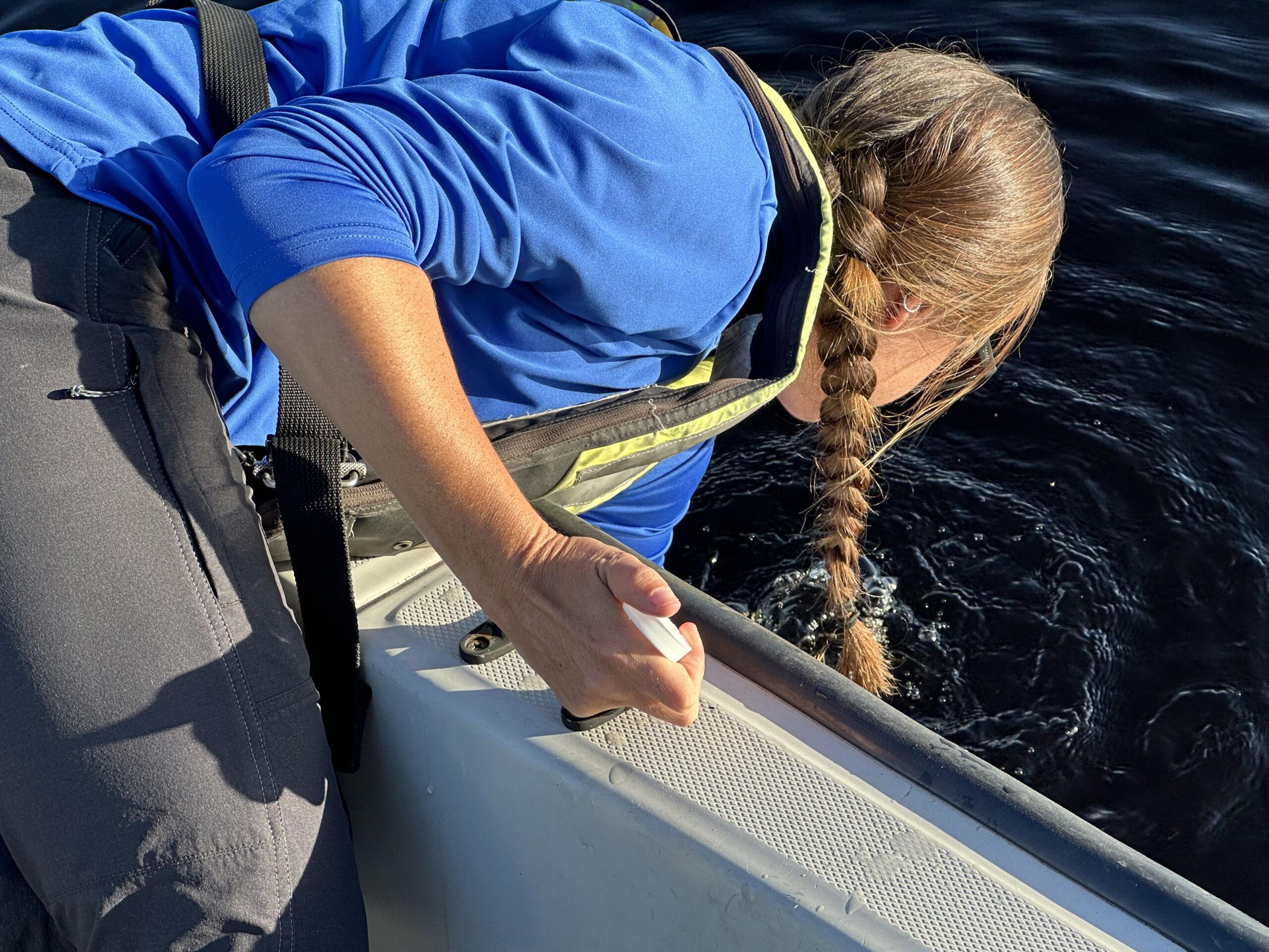
Close-up of a field technician in a life vest leaning over the side of a boat to submerge a sample collection vial into open water.
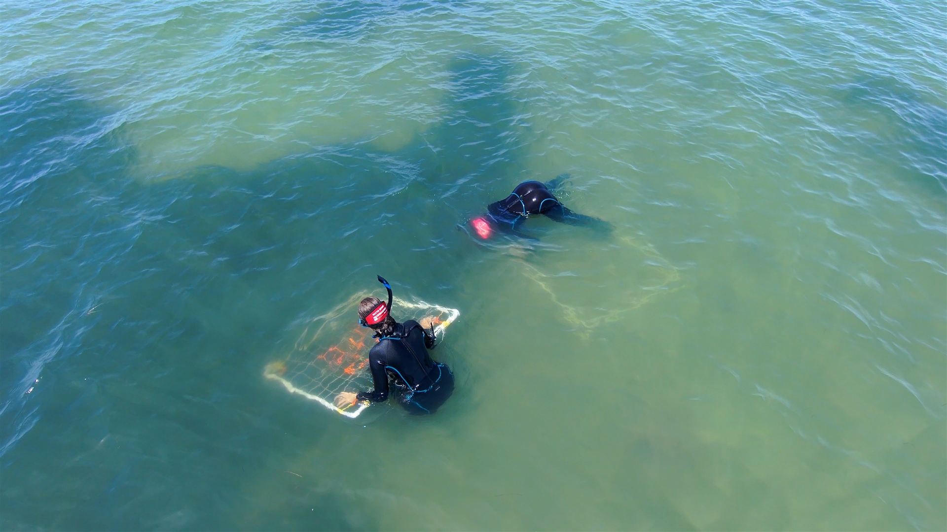
Two divers in black wetsuits conducting a field survey in shallow coastal waters, with one diver examining a framed underwater sampling quadrat containing aquatic vegetation.
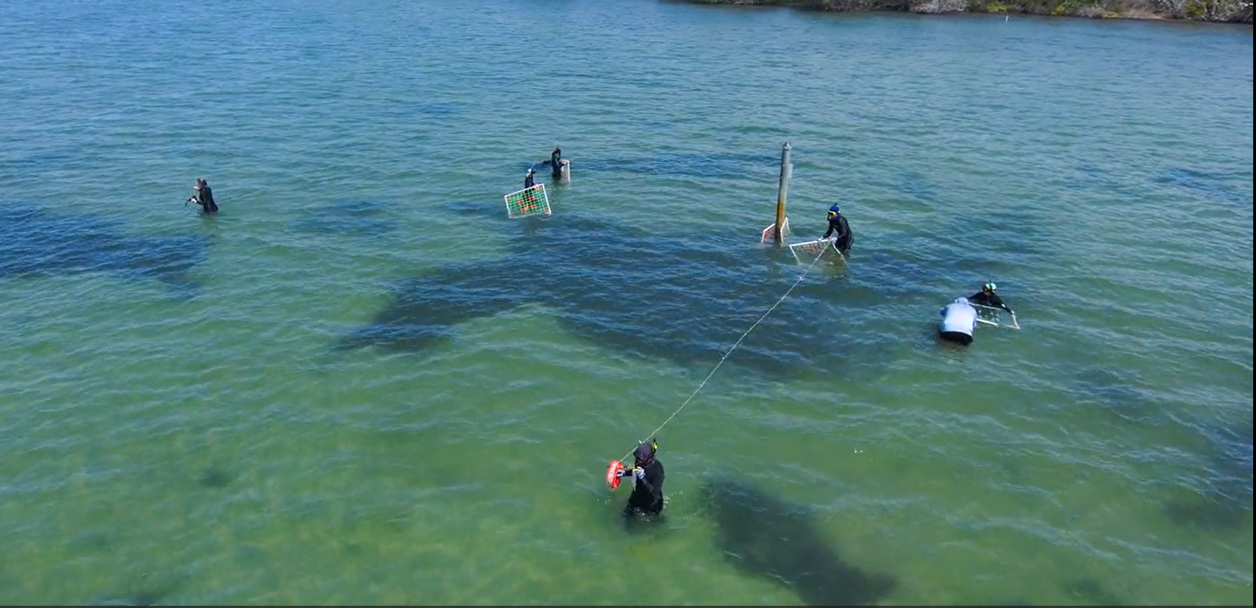
Aerial view of four field researchers in black wetsuits conducting an aquatic vegetation survey in shallow coastal waters, using gridded sampling quadrats and a transect line anchored to a monitoring pole.
Download All Assets (.zip - 1.34 GB)
Contact us
Civil rights
statement
SJRWMD’s
regulatory plan
Tell us how
we’re doing
Employee
portal
Accessibility
statement
Copyright © 2026 | St. Johns River Water Management District | Liability disclaimer
    Subscribe to Water News