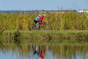
Submerged aquatic vegetation (SAV) serves as critical living infrastructure in the Lower St. Johns River, stabilizing sediments, filtering water and providing food and habitat for wildlife ranging from turtles to manatees. The condition of these underwater plant communities, particularly eelgrass (Vallisneria), serves as a sensitive indicator of ecological health across the Lower St. Johns River Basin, which spans Baker, Clay, Duval, Nassau, St. Johns, Putnam and Flagler counties and parts of Volusia, Alachua and Bradford counties.
The St. Johns River Water Management District (District) conducts long-term SAV monitoring to track changes in these underwater ecosystems. Prior to 2017, monitoring data showed extensive surface-canopy growth during periods characterized by lower water levels and greater water clarity. Dense eelgrass beds were a defining feature of much of the Lower St. Johns River under those conditions.
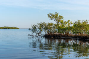
Hurricane Irma in 2017 marked a turning point. The storm’s prolonged flooding raised water levels and flushed tannins from inundated floodplain vegetation into the water column, further darkening the river’s naturally tea-colored water and limiting light penetration to the riverbed.
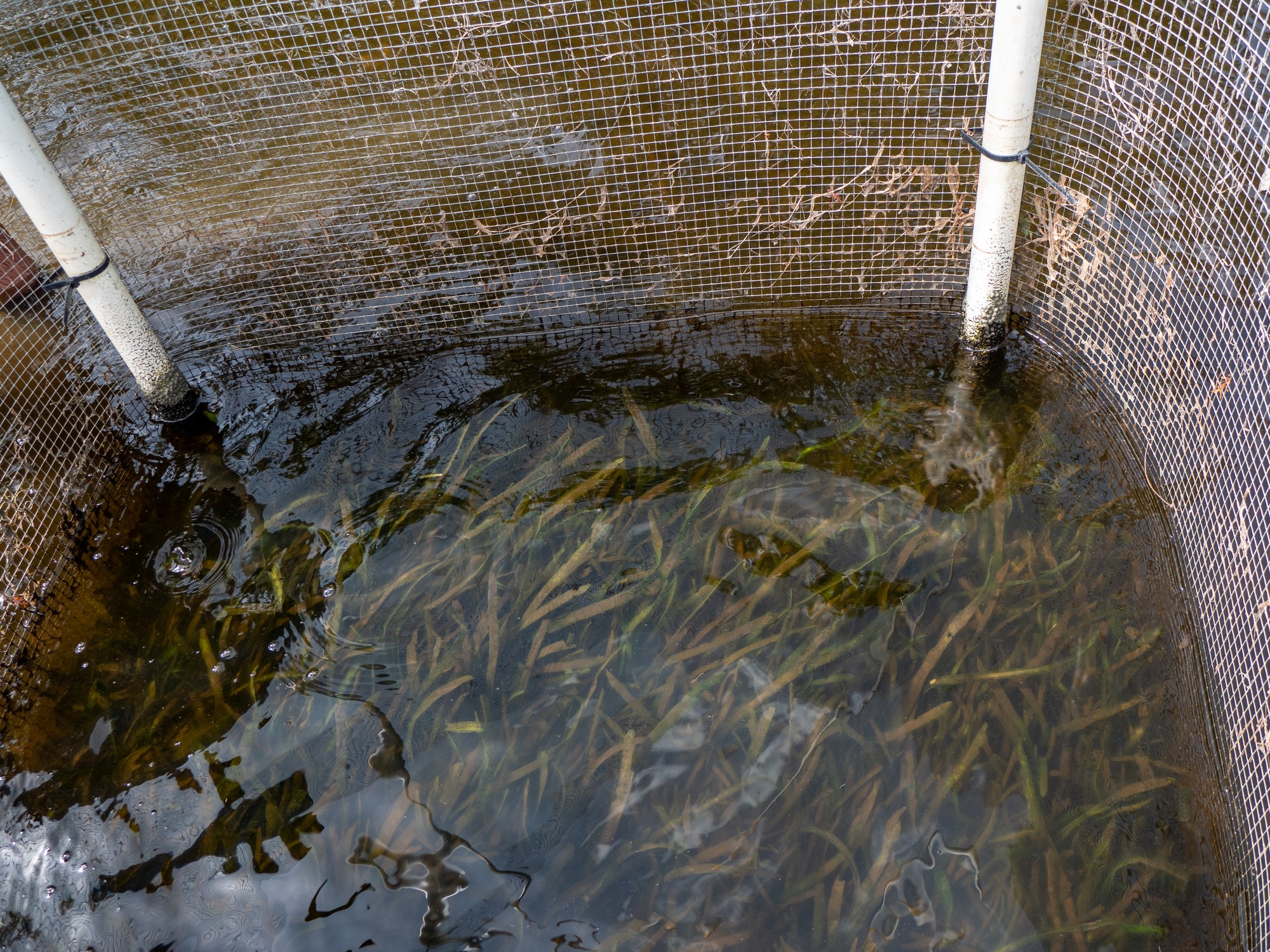
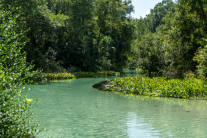
Submerged aquatic vegetation enclosure test area in the St. Johns River near Green Cove Springs, part of ongoing efforts to study and support vegetation recovery.
SAV survival is directly tied to light availability, and the combination of deeper, darker water slowing growth and continued grazing pressure has constrained recovery. Since Irma, SAV has persisted but at reduced canopy height and percent cover. Records show the steepest losses occurred south of Shands Bridge in Green Cove Springs, where percent cover declined from more than 50% to less than 5% and leaf length decreased from 30 cm to under 5 cm.
Despite these limitations, SAV demonstrates the capacity for recovery when conditions align. In the mid-2000s, lower water levels and improved clarity allowed for rapid SAV expansion. More recently, in spring 2025, lower water levels in Lake Monroe let more sunlight reach the lake’s bottom, resulting in significant regrowth of native beds along the lake’s shoreline. These examples show how quickly recovery can occur when water depth and clarity are favorable.
Collaborative efforts continue to play an important role in restoring SAV. Backed by funding from the state legislature and technical assistance from the District, the North Florida Land Trust committed $2 million toward planting and protecting SAV along the shoreline at the J.P. Hall Bayard Point Conservation Area. In Lake George, the Florida Fish and Wildlife Conservation Commission (FWC) advanced the effort by installing more than one million eelgrass plants behind temporary barriers in 2024 and plans to add another one million this coming spring. Other nonprofit groups are also experimenting with similar shoreline plantings, with promising early results.
“Protecting and restoring the St. Johns River is a shared effort,” said St. Johns River Water Management District Executive Director Mike Register. “Through collaboration with state agencies, local governments, and nonprofit partners, we’re advancing our understanding of the river and building the foundation for lasting recovery.”
District researchers, in partnership with FWC, have further studied how herbivory affects plant recovery. These exclusion experiments and transplant projects show a clear difference: outside cages, grasses are kept short by constant grazing from turtles, fish and manatees, while inside the barriers the plants are able to grow to full height. These findings highlight the extent to which grazing pressure influences SAV growth and canopy development.
The complex nature of SAV recovery involves multiple interacting factors including water depth, color, salinity, and grazing intensity. Long-term monitoring and research continue to document how these factors influence submerged plant communities in the post-hurricane ecosystem.
Ongoing monitoring, research and collaborative restoration efforts continue to shape how the District manages the river’s dynamic conditions. Through continued study, shoreline plantings and partnerships with FWC and nonprofit organizations, the river is beginning to show signs of resilience. While current SAV populations remain sensitive, the combined focus on science, restoration and collaboration is laying the groundwork for long-term recovery.