Waterways
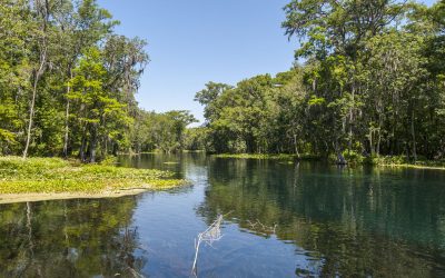
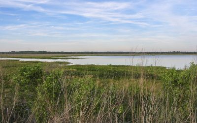
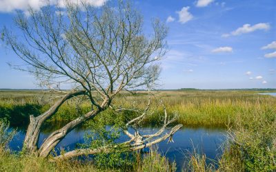
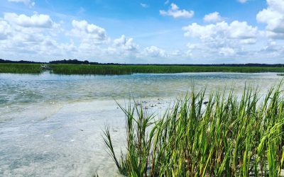
Many waterways found in the District
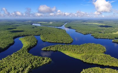
The St. Johns River Water Management District covers 12,283 square miles, about 7.8 million acres, or 21 percent of Florida. The main water body in the District is the northerly flowing St. Johns River, from which the District gets its name. The St. Johns River is the longest river entirely in the state.
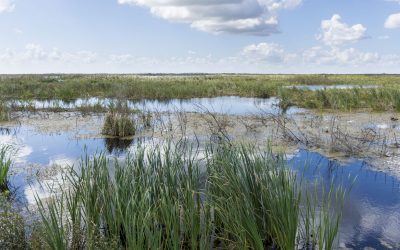
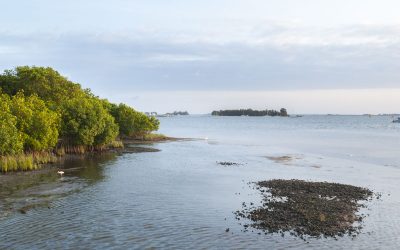
Other significant waterways and basins within the District are the Indian River Lagoon, the many lakes of the Keystone Heights area, the Northern Coastal Basins (including Rose Bay), the Upper Ocklawaha River Basin (including Lake Apopka and Lake Griffin), Orange Creek and the St. Marys River.
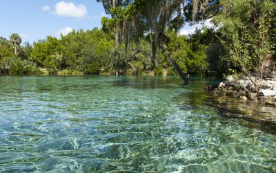
Florida has one of the largest concentrations of freshwater springs on Earth. Within the District, 148 springs have been identified.
Life in most waterways depends on the survival of underwater grasses. Underwater plants serve as food for some animals and nurseries and shelter for others. The grasses are a vital part of the water world, filtering pollutants from the water and acting as surfaces for organisms — snails, algae and insects — to hold on to. Submersed vegetation is also necessary because it adds dissolved oxygen to the water so aquatic animals can breathe. Its roots stabilize the bottom and prevent erosion.
Many human activities unintentionally add nitrogen and phosphorus or other pollutants to surface waters. Over many decades, urban development, farming, industry and man-made pollutants — such as partially treated sewage from our homes and businesses — have been pumped into waterways for disposal, causing a decline in the health of our rivers and streams. The District, various agencies, other government entities and stakeholder groups are working together to reduce the pollution threats to Florida’s waterways. Each individual can also help protect these waterways.


