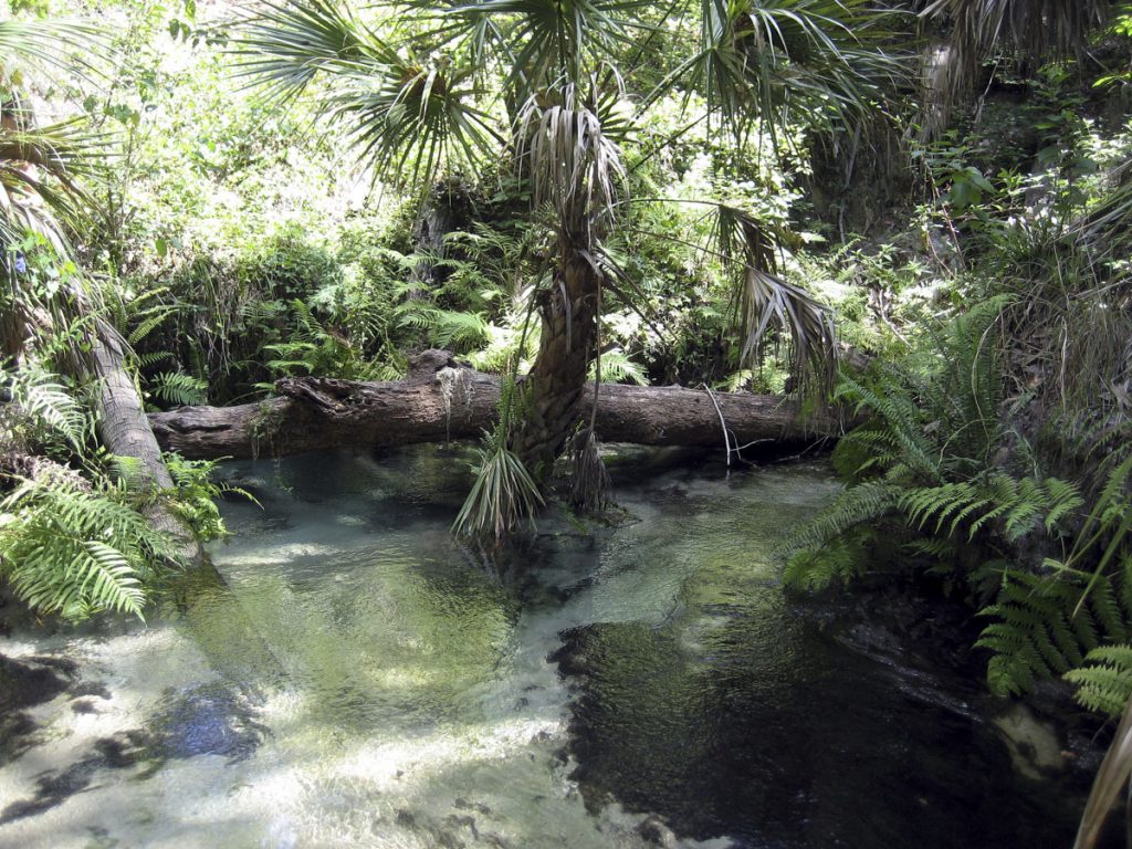
Seminole Springs is a second-magnitude spring and consists of a group of four principal springs distributed down two steep-sided ravines that average about 30 feet in depth. The two ravines converge, one from the southwest and the other from the northwest, to form a single east-trending ravine. For convenience of description, the separate spring vents are numbered 1 through 4. Spring vents 1, 2, and 3 are in the southwest ravine. These are numbered from southwest to northeast in downstream order and are 0.4, 0.3, and 0.25 mile, respectively, upstream from the junction of the two branching ravines. Spring vent 4 is at the upstream end of the northwest ravine, 0.25 mile from the juncture of the ravines. Flow from the springs is northeast or southeast, down their respective ravines, to a final convergence into a single east-flowing stream that forms a headwater to Seminole Creek.
Spring vent 1 issues from a sand boil about 3 feet in diameter near the head of the southwest ravine. Most of the spring flow is from this boil. A few small sand boils are also present in the shallow sand bottom of the run near vent 1. Flow from this spring vent is northeast down the ravine in a sand bottom run a few feet wide and 2 to 3 inches deep.
Spring vent 2 issues from a tubular opening in limestone 3 feet in diameter at the head of a short indentation in the steep east side of the ravine about 0.1 mile downstream from Spring vent 1. The spring orifice slopes downward to the north at the north end of a north-oriented oval pool. The top of the tubular opening was barely below the pool surface and near the top of limestone bedrock, overlain by about 30 feet of clayey sand that formed a steep slope on the north, east, and south sides of the spring pool. Flow from the pool is westward down a short, shallow, sand-bottomed run to join the northeastward flow from Spring vent 1.
Spring vent 3 is only 60 feet north of Spring vent 2 and in another short indentation in the east side of the ravine. A clayey sand ridge about 30 feet high separates the two spring pools. Spring vent 3 forms a semicircular pool about 15 feet in diameter bounded on the southwest, south, and east by steep clayey sand slopes. Most of the spring discharge appeared to come from two nearly horizontal tubular limestone openings 4 feet apart and each about 1 foot in diameter at the south edge of the pool. From the pool, water flows northwestward down a short run, and then joins the combined northeastward flow of Spring vents 1 and 2.
Spring vent 4 is at the head of the north ravine and issues from tubular openings in limestone at or near the top of the limestone bedrock. The limestone at this site is also overlain by 25 to 30 feet of clayey sand that forms the steep sides of the ravine. The spring pool is a roughly circular pool about 15 feet in diameter with a sand bottom. The deepest part of the pool is in its west-central part. Flow from the pool is southeast down a shallow sandy run to join the combined flow of Spring vents 1, 2, and 3 at the confluence of the two ravines (Rosenau et al. 1977). The springs are on private land and are not open to the public.

