District activates emergency operations center, monitors significant rain event and flood potential across east-central Florida – SJRWMD

District activates emergency operations center, monitors significant rain event and flood potential across east-central Florida

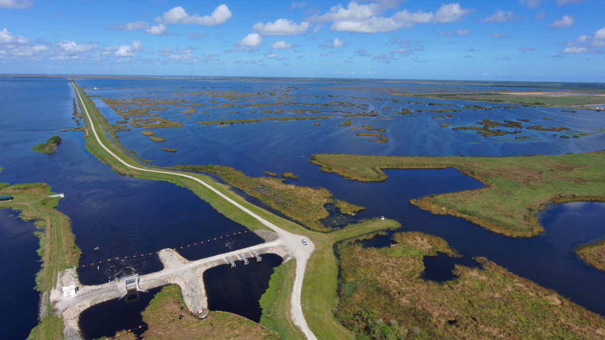
a water control structure surrounded by water

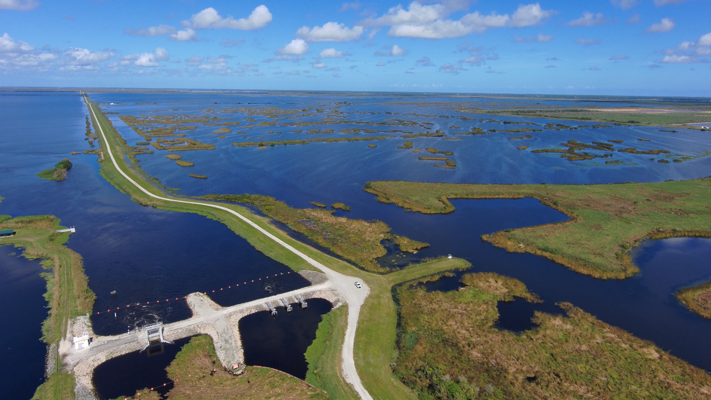
A St. Johns River Water Management District water control structure in the Upper St. Johns River Basin helps manage water levels and reduce flood risk. The District's Emergency Operations Center is active as staff monitor a significant rain event and coordinate with local, state and federal partners.
a water control structure surrounded by water
Seasonal sunflowers in bloom at Lake Jesup Conservation Area, located in the Middle St. Johns River Basin.
a water control structure surrounded by water
A St. Johns River Water Management District water control structure in the Upper St. Johns River Basin helps manage water levels and reduce flood risk. The District's Emergency Operations Center is active as staff monitor a significant rain event and coordinate with local, state and federal partners.

The St. Johns River Water Management District has activated its Emergency Operations Center and is closely monitoring a significant rainfall event expected to affect portions of east-central Florida over the coming days, including low-lying and flood-prone areas along the St. Johns River, its tributaries and coastal communities.

District staff are coordinating with local, state and federal partners, monitoring weather forecasts and water levels, and conducting inspections of critical flood protection infrastructure, including levees, canals, pump stations and water control structures. Current flood forecasting indicates the potential for significant flooding in portions of the basin, including areas near Cocoa and Lake Harney. If forecasted rainfall totals are realized, water levels in some locations could approach those experienced during Hurricane Irma.

The managed water bodies within the Upper Basin system continue to recover from the significant rainfall received during the first week of November. District staff are closely monitoring conditions and will retain as much water as safely possible while balancing storage capacity, operational limitations and potential impacts to surrounding communities.

As conditions evolve, the District may adjust operations and alternate releases between structures to maximize storage, reduce downstream flows where possible, and safely manage water levels throughout the system.

Current actions underway

  • The District’s Emergency Operations Center is open and actively supporting monitoring and response efforts.
  • District staff are operating and monitoring flood control structures throughout the system.
  • Personnel are conducting inspections of levees and other critical flood protection infrastructure.
  • Staff are coordinating with county emergency management agencies, local governments, the National Weather Service and other partner agencies.
  • Hydrologists and operations staff are continuously evaluating forecasts, rainfall totals, water levels and available storage capacity across the region.

Residents are encouraged to remain weather aware and monitor forecasts, watches and warnings issued by the National Weather Service and their local emergency management agencies.

For questions regarding neighborhood flooding, road closures, evacuations or other local impacts, residents should contact their local government or county emergency management agency, which serve as the primary sources of information for community-specific flooding concerns.