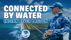
District releases updated seagrass data showing continued expansion

The District announced the release of the 2025 Indian River Lagoon (IRL) seagrass monitoring data during today’s Governing Board meeting, showing continued expansion in both seagrass coverage and density across the system.
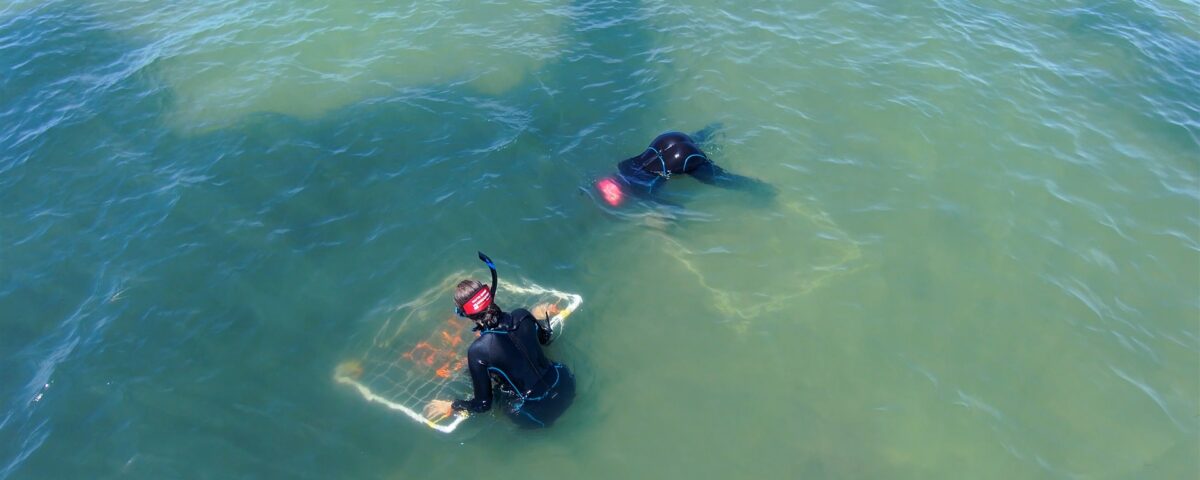
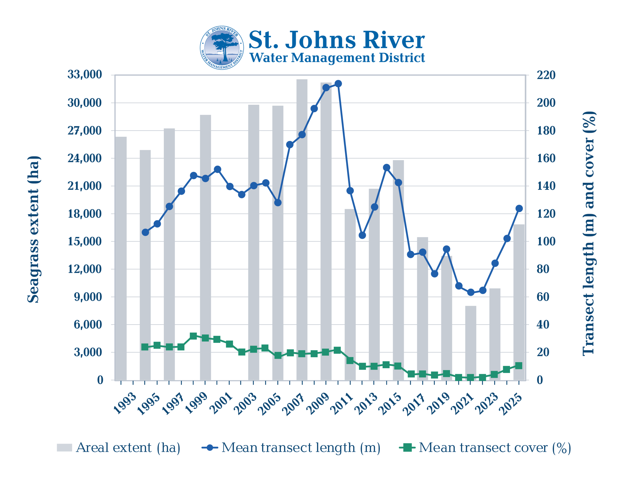
The 2025 update includes results from the District’s biennial aerial mapping program and annual in-water fixed transect monitoring. Transect data provides detailed, site-specific information that complements the broader lagoon-wide aerial imagery. Based on this data, the District documented 17,042 hectares of seagrass in 2025, compared to 9,924 hectares in 2023; an increase of more than 7,000 hectares, or roughly 13,000 football fields.
Field transect data also showed continued expansion. Mean transect length increased from 84 meters in 2023 to 124 meters in 2025, while mean transect cover increased from 3.95% to 10.77% over the same period. Together, these results indicate seagrass is not only expanding but also increasing in density.
“Combining aerial mapping with field transect data gives us a more complete picture of seagrass condition across the lagoon,” said St. Johns River Water Management District Supervising Environmental Scientist Lorae Simpson. “While increases in extent and cover are encouraging, sustained monitoring at multiple scales is critical to guide where and how we focus our management efforts.”
While the latest data reflects encouraging progress, continued restoration, monitoring and management are essential to support long-term recovery and resilience. These efforts include water quality improvements, seagrass monitoring and coastal wetland restoration projects that help improve natural filtration, enhance habitat and restore more natural hydrology.
In the early 1900s, canals were built to support agriculture and reduce flooding. While these projects provided important benefits to growing communities, their long-term effects on the lagoon’s natural flow patterns were not yet fully understood. As understanding of the lagoon evolved over time, it became clear that redirecting water east to the Indian River Lagoon instead of west toward the St. Johns River contributed excess freshwater and nutrients into the lagoon.
To help restore a more natural flow and improve water quality, the District has completed four canal diversion projects—C-54, Fellsmere Main, C-1, and the recently completed Crane Creek/M-1 Flow Restoration Project. These projects use treatment and storage features to improve water quality before redirecting water back toward the St. Johns River, helping reduce the amount of freshwater and nutrients entering the lagoon and while providing regional water quality benefits.
“These results reflect meaningful progress and years of coordinated effort to improve water quality across the lagoon,” said District Executive Director Mike Register. “While we’re encouraged by the trend, continued investment in restoration and science-based management will be critical to sustaining this momentum.”
In addition to these efforts, Brevard County’s Save Our Indian River Lagoon Program is advancing a muck dredging project targeting decades of accumulated muck just north of the Eau Gallie Causeway. Dredged material will be piped to a site off U.S. 1 for dewatering before being transported to a District-owned containment area for final placement, helping reduce nutrient loads and improve overall lagoon health.
Efforts like these, combined with ongoing monitoring, help inform the data used to track progress across the lagoon. The District will continue its long-term monitoring program through biennial aerial mapping and annual transect surveys to support science-based restoration and management decisions.
For interview requests, please contact Caitlin Butler at csbutler@sjrwmd.com.
B-roll footage showcasing the Indian River Lagoon, its seagrasses and the ongoing restoration efforts is available in the District’s Media Library at sjrwmd.com/newsroom/media-library.