St. Johns River Water Management District seeks public input on Lower St. Johns River Basin Plan – SJRWMD

St. Johns River Water Management District seeks public input on Lower St. Johns River Basin Plan

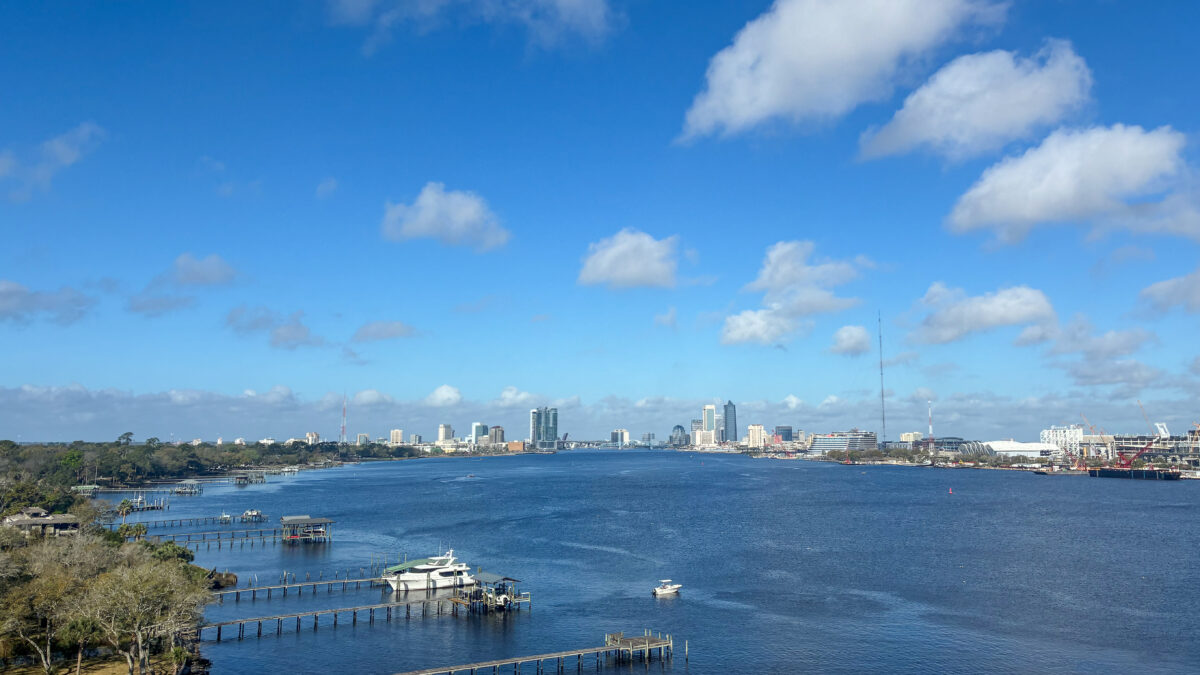
St. Johns River flowing through downtown Jacksonville
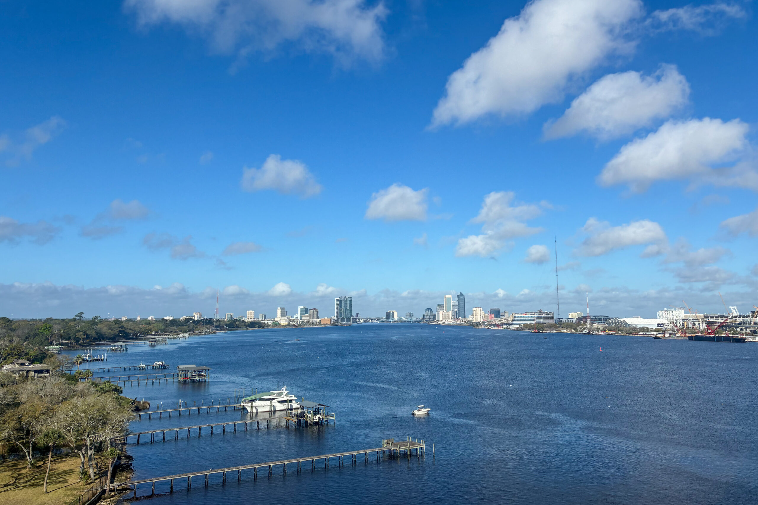
St. Johns River flowing through downtown Jacksonville
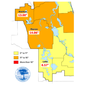
The Lower Basin of the St. Johns River covers more than 4,500 square miles from the Florida-Georgia border in Nassau and Baker counties, south through Clay, Duval, St. Johns, Putnum and Flagler counties. Based on watershed boundaries rather than political boundaries, the Lower Basin includes portions of Volusia, Alachua and Bradford counties.
Palatka, Fla. Oct. 2, 2026 — The St. Johns River Water Management District has opened the public comment period for the draft 2026 Lower St. Johns River Basin Plan.

The draft plan outlines priorities and projects that support improvements in surface water quality, river health, flood resilience, coastal protection and will guide water resource management across the basin. Public input is an important part of the planning process and will help ensure the final plan reflects community needs, local knowledge and regional priorities. The District held a public meeting on Sept. 28 to provide an overview of the draft plan and answer questions from attendees.

The draft plan and an online public comment form are available on the District’s website at sjrwmd.com/documents/plans/#basin.

Public comments will be accepted through Oct. 23, and feedback received during this period will help inform revisions before the plan is finalized.

Residents, community partners and interested parties are encouraged to review the draft and share their input.

For more information about the District’s efforts in the Lower St. Johns River Basin, visit www.sjrwmd.com/waterways/st-johns-river/lower/.

B-roll and high-resolution images of the Lower St. Johns River Basin are available in the District’s media library.