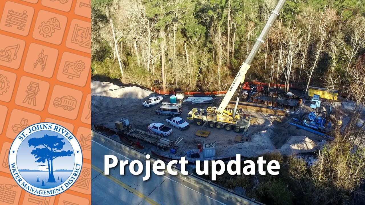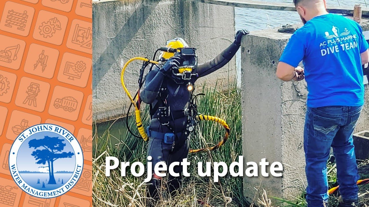
Crane Creek / M-1 Canal Project
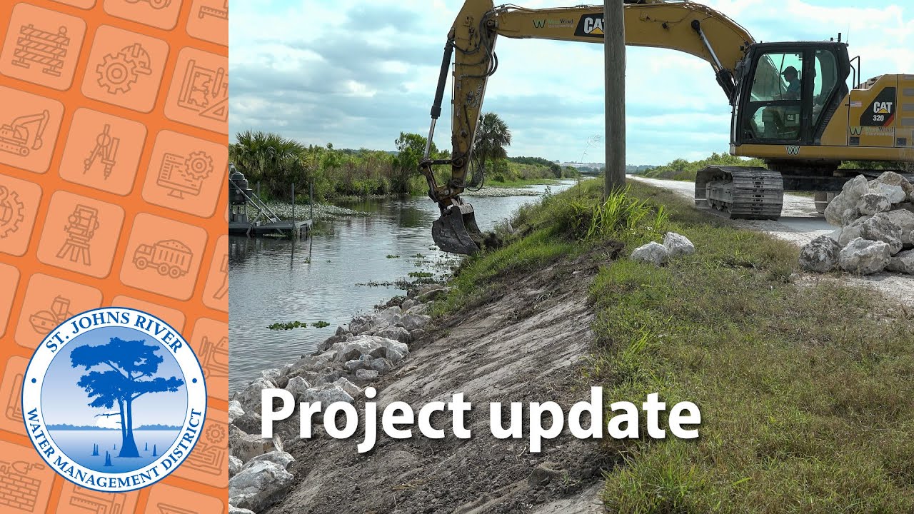
The M-1 Canal is a 100-year-old, man-made flood control feature in Brevard County that cuts through the historic drainage divide between the St. Johns River and the Indian River Lagoon.
The projects described on this page — undertaken to fulfill its core missions — are broken into District-led restoration and construction projects, and Districtwide and agricultural cost-share projects.
The M-1 Canal is a 100-year-old, man-made flood control feature in Brevard County that cuts through the historic drainage divide between the St. Johns River and the Indian River Lagoon.
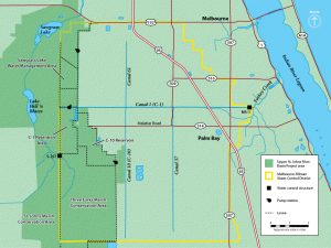
The C-10 Water Management Area (WMA) is planned as part of the work of the St. Johns River Water Management District in the Upper St. Johns River Basin to help improve water quality in the Indian River Lagoon.
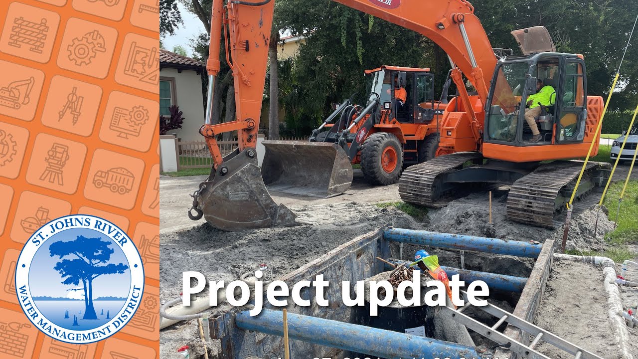
Located in Clay County adjacent to the west bank of the St. Johns River, the Doctors Lake Basin covers approximately 23 square miles. The basin’s former agricultural and forested lands now support medium and high-density residential areas and commercial properties.
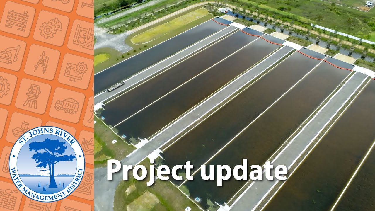
The Emeralda Marsh Conservation Area (EMCA) is made up of seven wetland marsh areas. Beginning in the 1940s, the marshes were drained, and the exposed muck soils were used for row-crop agriculture and cattle grazing.
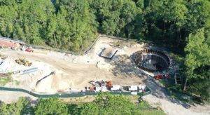
The primary goal of the Black Creek Water Resource Development Project is to increase recharge to the Upper Floridan aquifer in northeast Florida using excess flow from Black Creek, in Clay County.
Lake Apopka is the headwaters of the Ocklawaha Chain of Lakes. The District and partners have worked since the 1980s to improve the lake’s water quality and habitat, achieving significant improvements.
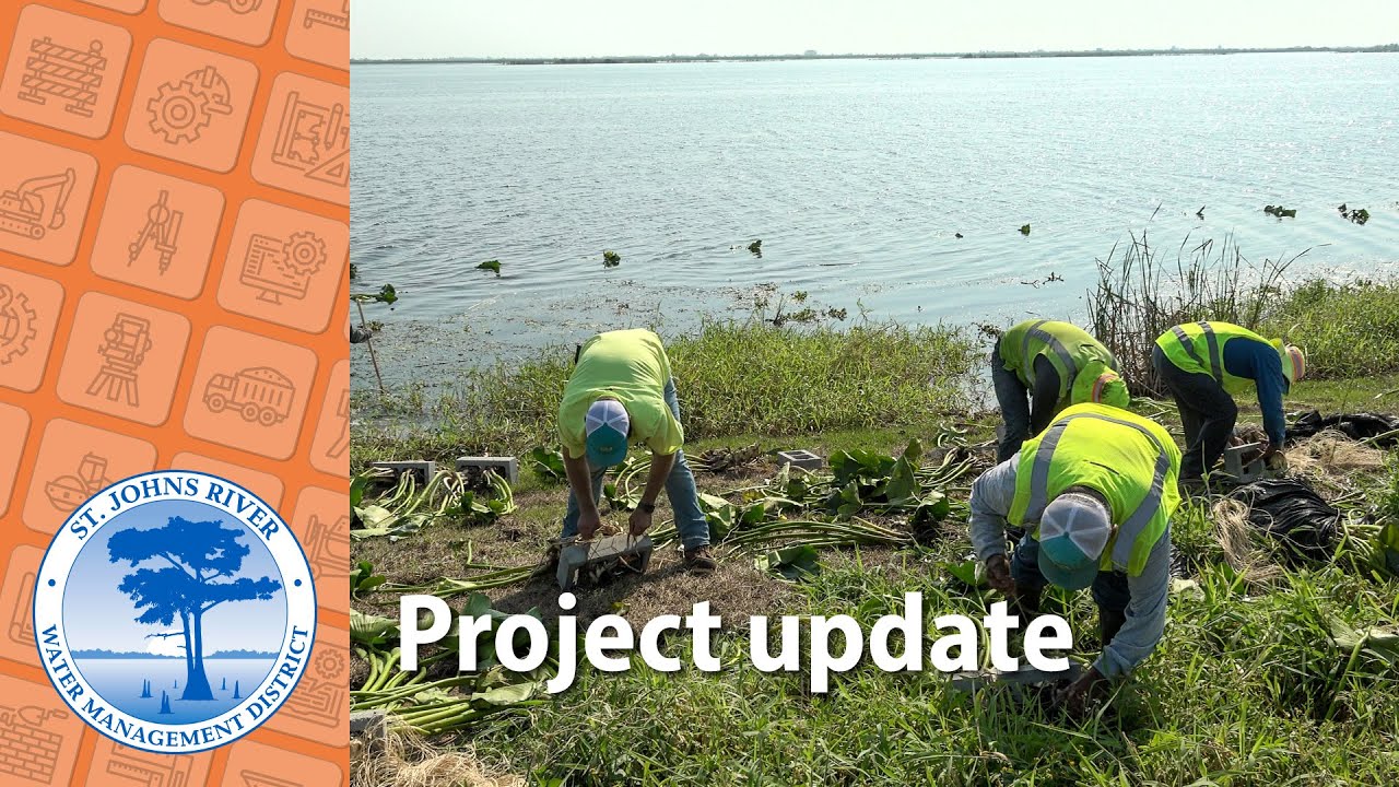
Lake Jesup is a hydrologically complex system with a large, urbanized watershed and is the largest lake in Seminole County.
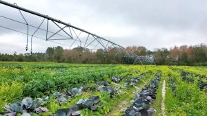
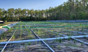
The District assists farmers in protecting water resources through its cost-share funding program and by providing technical assistance through its Ag Assistance Team.