Minimum flows and levels: Setting a roadmap for sustainable water resources
Oct. 22, 2020

District environmental scientist Nathaniel Mouzon is part of a hands-on District team working to determine the resiliency of water bodies to water withdrawal impacts in the minimum flows and levels program.
The St. Johns River Water Management District’s Governing Board recently approved the draft Minimum Flows and Levels (MFLs) Priority List and Schedule, setting the course for the work to complete new MFLs and reevaluations for the calendar years 2020 through 2024. This list will now be submitted to the Florida Department of Environmental Protection for review and approval. Once approved, the list will be included in the District’s Consolidated Annual Report, which is published yearly by March 1.
To ensure transparency and to provide the public with an opportunity to be a part of the process, the District held two public workshops in September, including a joint meeting with the South Florida and Southwest Florida water management districts as we work together on water resource issues in the Central Florida Water Initiative Area.
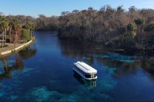
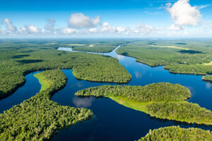
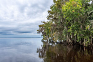
Setting MFLs is one of the tools we use to help protect water resources as part of our core missions of water supply and natural systems, and to ensure resilience of these resources. This highly technical work is guided by Florida law that requires MFLs be set for priority water bodies (lakes, rivers, wetlands and each of our Outstanding Florida Springs). MFLs define the limits for a water body at which further water withdrawals would be significantly harmful to the water resources or ecology of an area. These limits provide far-reaching benefits for people and our waterways.
Field-based environmental assessments and scientific literature are the basis for each MFL determination in a complex process that takes many months or years to accurately complete. Many factors are studied, and plans are tailored for each unique water body. For each MFL, the District collects and analyzes large amounts of information, including historical water levels or flow rates, water quality data and wetland vegetation data. Sophisticated hydrologic, hydraulic and groundwater and surface water modeling is also conducted as part of the MFLs determination and assessment process.
Thanks to our dedicated District scientists who are accomplishing this intense, data-driven and in-depth work necessary to set MFLs. We are all grateful for your work to protect Florida’s water resources from significant harm. To learn more about MFLs in our District, visit StreamLines.