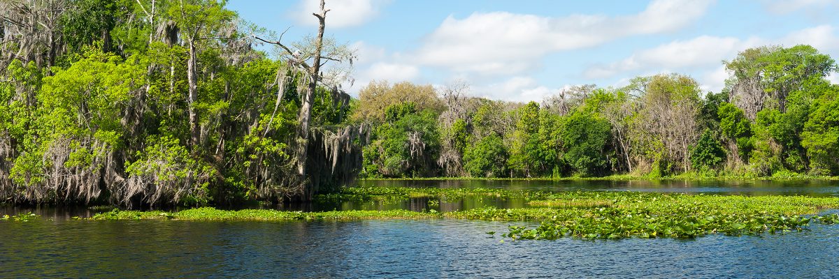
Florida’s longest river is a liquid chameleon. During its slow 310-mile northerly journey, the St. Johns River morphs from a marsh in Indian River County into a broad waterway with expansive views as it flows to northeast Florida and into the Atlantic Ocean.
The sawgrass marsh areas of the river’s headwaters are teeming with alligators, wading birds and waterfowl. In Brevard County, the marsh becomes a navigable river, gently twisting as it crawls north. Then the river reveals a tapestry of lakes, bottle-clear spring runs and darkwater tributaries. As the river leaves Putnam County for Clay and St. Johns counties, it widens considerably, in some locations exceeding two miles across. After passing Mayport in Duval County, the longest river contained in the state of Florida ends its journey where it mixes with the Atlantic Ocean.
The St. Johns River is an ancient intracoastal lagoon system, which gets its tea color from tannins, a natural color caused by decaying plant material. As sea levels dropped, barrier islands became an obstacle that prevented water from flowing east to the ocean. The water collected in the flat valley and slowly meandered northward, forming the St. Johns River.
The St. Johns — one of the few rivers in the United States that flows north — is one of the laziest rivers in the world. From its source in the marshes south of Melbourne to its mouth in Mayport, the river drops a total of less than 30 feet — or about one inch per mile. The incoming tide from the Atlantic Ocean causes the river to reverse its flow twice a day and in periods of low water, tides may cause a reverse flow as far south as Lake Monroe — 161 miles upstream from the river’s mouth. High and sustained northeasterly winds can result in many days of reversed flow. For these reasons, it is difficult for the river current to naturally flush pollutants.
The St. Johns River is divided into three watersheds (also known as drainage basins). Because the river flows north, the upper basin is the area to the south that forms its marshy headwaters in Indian River and Brevard counties. The middle basin is the area in central Florida where the river widens, forming lakes Harney, Jesup, Monroe and George. The lower basin is the area in northeast Florida from Putnam County to the river’s mouth in Duval County, where the river empties into the Atlantic Ocean. Major tributaries, or smaller streams and rivers that flow into the St. Johns River, include the Wekiva River, the Econlockhatchee River and the Ocklawaha River.
Wildlife is abundant in and around the St. Johns River. For hundreds of years, the river has been home to many plant species and marine animals — manatees, largemouth bass and many other types of fish, crabs, shrimp and other shellfish, river otters, waterfowl, blue herons and bald eagles, and alligators and other reptiles.
The St. Johns River is rich in history and culture, holds environmental and aesthetic value, plays an important role in the economy and serves as a place to call home for people and wildlife alike.
Tour the St. Johns River
Explore the 310-mile-long St. Johns River, from its headwaters in Indian River County, to its convergence with the Atlantic Ocean in Mayport, north of Jacksonville. Experience the river through articles, images, videos and interactive maps.

