District continues storing billions of gallons of floodwater in Upper St. Johns River Basin
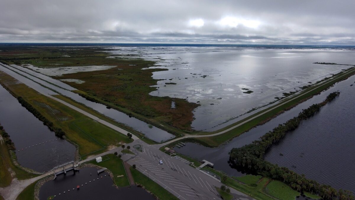
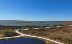
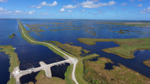
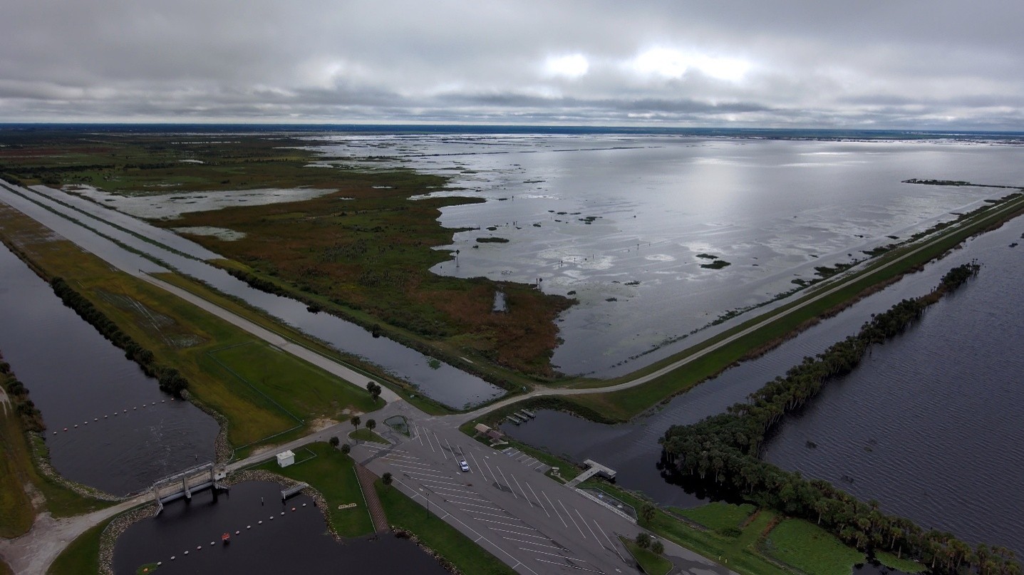
Ariel view of the Upper St. Johns River Basin. The Upper Basin's network of reservoirs, canals and water control structures is designed to temporarily store floodwater and slow the movement of water through the watershed through controlled releases.
Key messages:
- The District continues to store approximately 60 billion gallons of water (185,000 acre-feet) in the Upper St. Johns River Basin that would otherwise be flowing downstream into the St. Johns River.
- The Upper Basin flood-control system is operating as designed, helping to reduce downstream impacts during this extraordinary rainfall event.
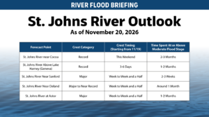
- Because the St. Johns River flows across an exceptionally flat landscape, water moves slowly through the system. River levels will continue rising for days and could take weeks to crest and recede in many areas.
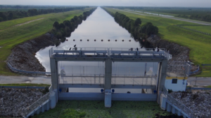
- All District-operated flood-control structures associated with the Upper St. Johns River Basin are located south of U.S. 192 near the Brevard-Indian River County border and continue operating in accordance with the project schedule approved by the U.S. Army Corps of Engineers.
- Controlled releases to the C-54 Canal remain one of several operational tools available to help manage water levels within the regional system when conditions warrant.
PALATKA, Fla., Nov. 20, 2026 — The St. Johns River Water Management District continues operating flood-control infrastructure throughout the Upper St. Johns River Basin, where approximately 60 billion gallons of water, or 185,000 acre-feet, are currently being stored that would otherwise be flowing downstream into the St. Johns River.
The Upper Basin’s network of reservoirs, canals and water control structures is designed to temporarily store floodwater and slow the movement of water through the watershed through controlled releases. During major storm events, that storage helps reduce the volume of water moving downstream and provides flood protection benefits for communities along the river system.
The current flooding follows an historic rainfall event that occurred while portions of the watershed were still recovering from significant rainfall earlier this month. While rainfall has ended in some locations, water levels across portions of the St. Johns River and its tributaries will continue to rise and remain elevated as runoff moves through the watershed.
The St. Johns River flows across an exceptionally flat landscape, with a very gradual slope of approximately one inch per mile. This slow movement of water means river levels can continue rising for days after a storm and may take weeks to fully crest and recede following significant rainfall events even with the District’s retaining and controlled releases upstream.
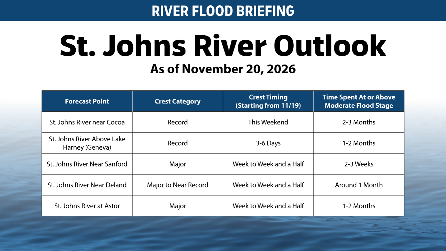
Find the most up-to-date river levels at www.weather.gov/serfc.
District-operated structures within the Upper St. Johns River Basin, all located south of U.S. 192 near the Brevard-Indian River County border, continue operating in accordance with the project schedule designed by the U.S. Army Corps of Engineers. Staff continuously monitor system conditions and make operational adjustments within approved operating criteria.
As part of those operations, the District has conducted controlled releases to the C-54 Canal in accordance with the approved operating plan. Those releases are based on established water-level criteria and are one of several tools used to help manage water levels within the system and reduce flows to the St. Johns River system.
While the Upper Basin provides significant flood protection benefits, flooding conditions throughout central Florida are being influenced by a combination of factors, including historic rainfall, saturated ground conditions, ongoing runoff and, in some areas, coastal and tidal influences. Residents are encouraged to continue monitoring local forecasts and follow guidance from local governments and emergency management agencies, which have the most current information regarding conditions in their communities.
The District will continue monitoring conditions around the clock and operating the system to provide flood protection benefits while supporting the safe movement of water through the watershed.
Current river levels can be found at www.sjrwmd.com or www.weather.gov/serfc.
B-roll of the Upper St. Johns River Basin is available at www.sjrwmd.com/newsroom/media-library.