District initiates controlled releases to C-54 Canal following recent heavy rainfall to protect local communities

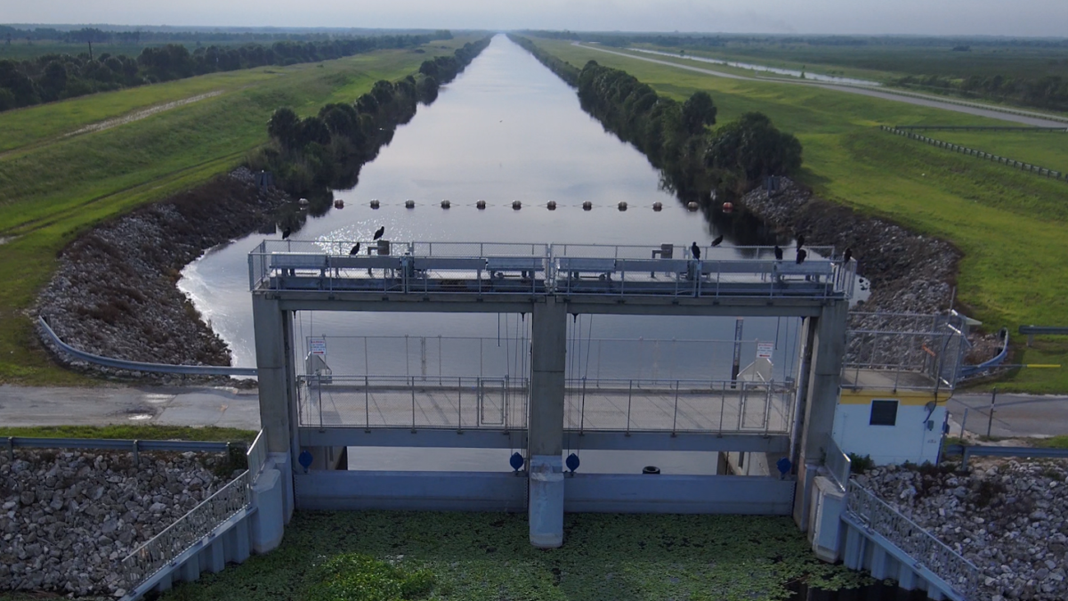
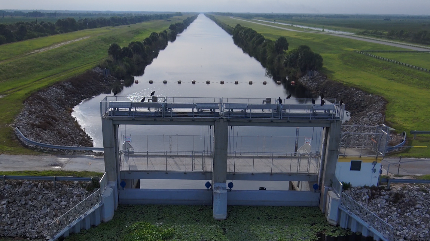
View of S-96 into the C-54 Canal.
View of S-96 into the C-54 Canal.
These releases are being conducted in accordance with the emergency provision of the District’s Upper St. Johns River Basin Water Management Plan and federally authorized water control schedule to help manage elevated water levels due to recent and projected rainfall. The water control manual was developed by the District and approved by the U.S. Army Corps of Engineers to balance multiple factors, including the protection of public safety, the reliability and integrity of flood control infrastructure and potential environmental impacts to downstream systems, including the Indian River Lagoon.
With these controlled releases, a portion of the flow that would normally move through the District’s Three Forks Marsh Conservation Area and into the St. Johns River is diverted through the S-96 structure and is discharged into the canal in a controlled manner.
Because water released through the C-54 Canal ultimately flows to the Indian River Lagoon, the District carefully evaluates both potential flooding and environmental impacts before initiating operations. Controlled releases are only made when conditions warrant them. The last time discharges were necessary was during tropical storm events in 2017.
District staff will continue monitoring conditions across the Upper St. Johns River Basin and adjusting operations as necessary based on real-time conditions, forecasted rainfall and basin-wide impacts.